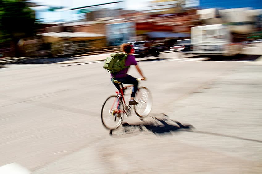
Denver is asking for the expertise of its residents and workers -- in their capacity as walkers, cyclists and drivers -- to find the dangerous intersections, disconnected bike paths and other sources of potential danger.
This is part of the city's Vision Zero initiative to reduce traffic deaths to zero. The map-based online survey is open until April 30. You can mark locations that don't work -- or ones that work really well and should be replicated around the city.
The city has been tracking crash data, but Mayor Michael Hancock said in a statement he doesn't believe the numbers tell the whole story.
“The city and state have considerable crash data, however, feedback from our residents regarding where they believe safety on our streets can be improved is just as important. This survey will help Denver broaden our insight into the safety of our streets and neighborhoods," he said.
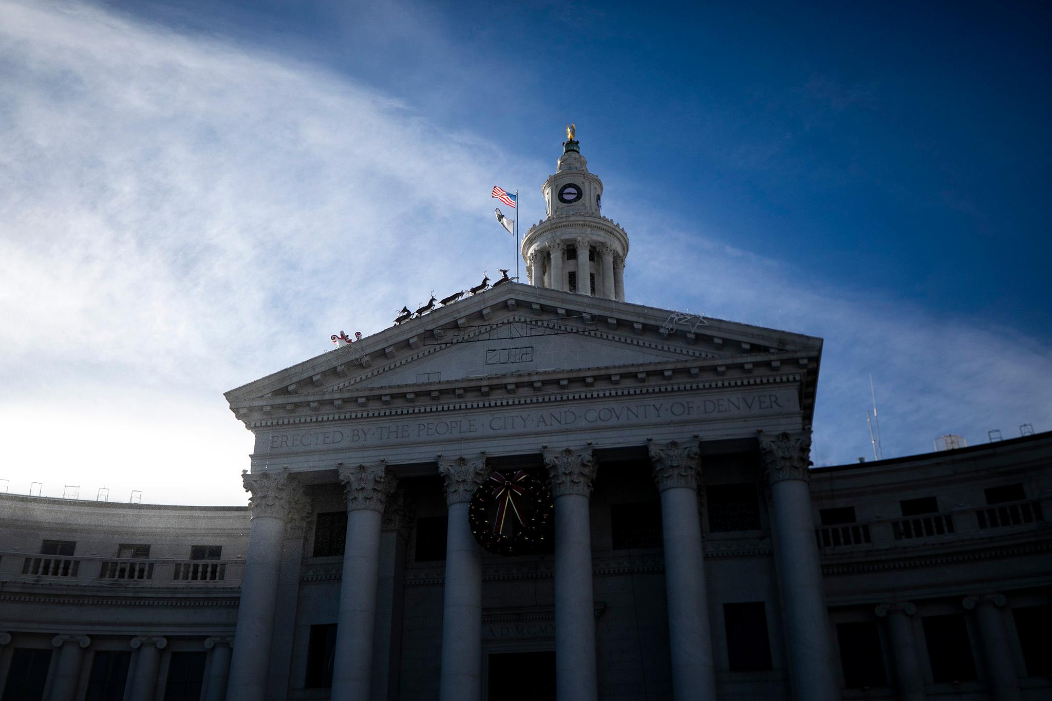
There's also a Vision Zero forum starting at 10 a.m. Wednesday at the McNichols Civic Center Building, 144 W. Colfax Ave. Hancock and Councilman Jolon Clark will be there along with transportation planners, mobility advocates and neighborhood representatives. Unfortunately, it's invitation only.
Update: This article has been changed to reflect that the forum is not open to the general public.