Coastal cities often are held up as the places that stand to lose the most to climate change, with rising seas and unpredictable storms sieging the shores of New York City and Miami.
But Denver faces its own threats, including the one most central to climate change: the heat. A new set of maps, paid for by a $30,000 grant and presented below, is meant to prepare the city government for longer, hotter summers and heatwaves.
"A lot of times ... we talk about saving the planet, which is important, obviously. But there’s been less focus on how much climate change will actually impact people’s health and is already impacting people’s health today," said Liz Babcock, manager of air, water and climate for the city Department of Environmental Health.
The heat threat:
Colorado historically has not had a "high risk for heat-related illness and death," according to a CU-Boulder and Colorado State University report.
However, an increase in nighttime temperatures could put Denver at risk of the kind of unrelenting heat waves that put people at risk -- and the city isn't adapted to that kind of weather, according to the city staffers working on this project.
"Fifty percent of our homes don't have air conditioning," Babcock said. And by 2050, typical summer temperatures are expected to match the very hottest summers that we saw in the late 20th century, according to a CU-Boulder and Colorado State University report.
To assess the threat, Denver and its consultant examined two major factors: the physical details of the city and the lives of its residents.
The cityscape:
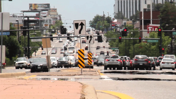
On the physical side, pavement and other impervious surfaces can trap heat, creating "heat island" effects. So, the heavily developed areas along the highway corridors might experience higher temperatures.
Meanwhile, areas with more trees have lower temperatures. Downtown obviously lacks this, and in generally the wealthier and whiter neighborhoods of southeast and northwest Denver have more than other residential areas.
The people:
So, here's what surprised me about this analysis -- but, maybe it shouldn't have: Our vulnerability to heat has more to do with our health and our personal resources than our exact location.
"We know certain populations are going to be more vulnerable. Older populations, younger populations, populations that can’t necessarily afford to escape the heat or put in air conditioning, or use their air conditioning if they have it," said Michele Shimomura, a program manager for the Department of Environmental Health.
The analysis looked at each Denver neighborhood's demography, such as vehicle ownership, education and poverty, as well as health data, such as residents' average age and the prevalence of health conditions, such as diabetes, and disabilities. All these factors have been linked to heat vulnerability, Shimomura said.
"Do you have neighbors looking out for you? Do you have the ability to ride your bike a mile to go get water, or go to a cooling center?" she continued.
"For almost all health outcomes, you do better if you’re more connected and you feel safe in your community."
Babcock points as examples to heatwaves that killed hundreds in Chicago and thousands in Europe, with elderly people and people who lived in isolation particularly affected.
The map:
You can find the map above on the city's website, too. You can also read our coverage of Colorado's lengthening wildfire season and the increasingly early blooms of spring.
The bigger question for the city:
This project, funded by the Center for Climate Change and Health, does not create any binding new city policies or anything like that. The hope is that it will be a permanent resource for various city departments to consider as they plan projects.
"This is not a standalone tool that drives the decision-making process by itself," said Bob McDonald, executive director of DEH. But he wants to see this kind of health considerations embedded in how the city works.
In fact, the heat map is part of a larger effort to analyze "inequity" in the city. Inequity is the idea that different people and areas need different resources for a healthy and happy life.
City policy based on rectifying inequity would presumably dedicate more resources to the areas shown in this heat vulnerability map -- because the issue is not so much that the vulnerable areas are hotter, but that the people who live there are more affected by increasing temperatures.
This kind of "inequity" thinking and analysis is becoming more common in civic circles, but it's not generally embedded in the city's mission or policies.
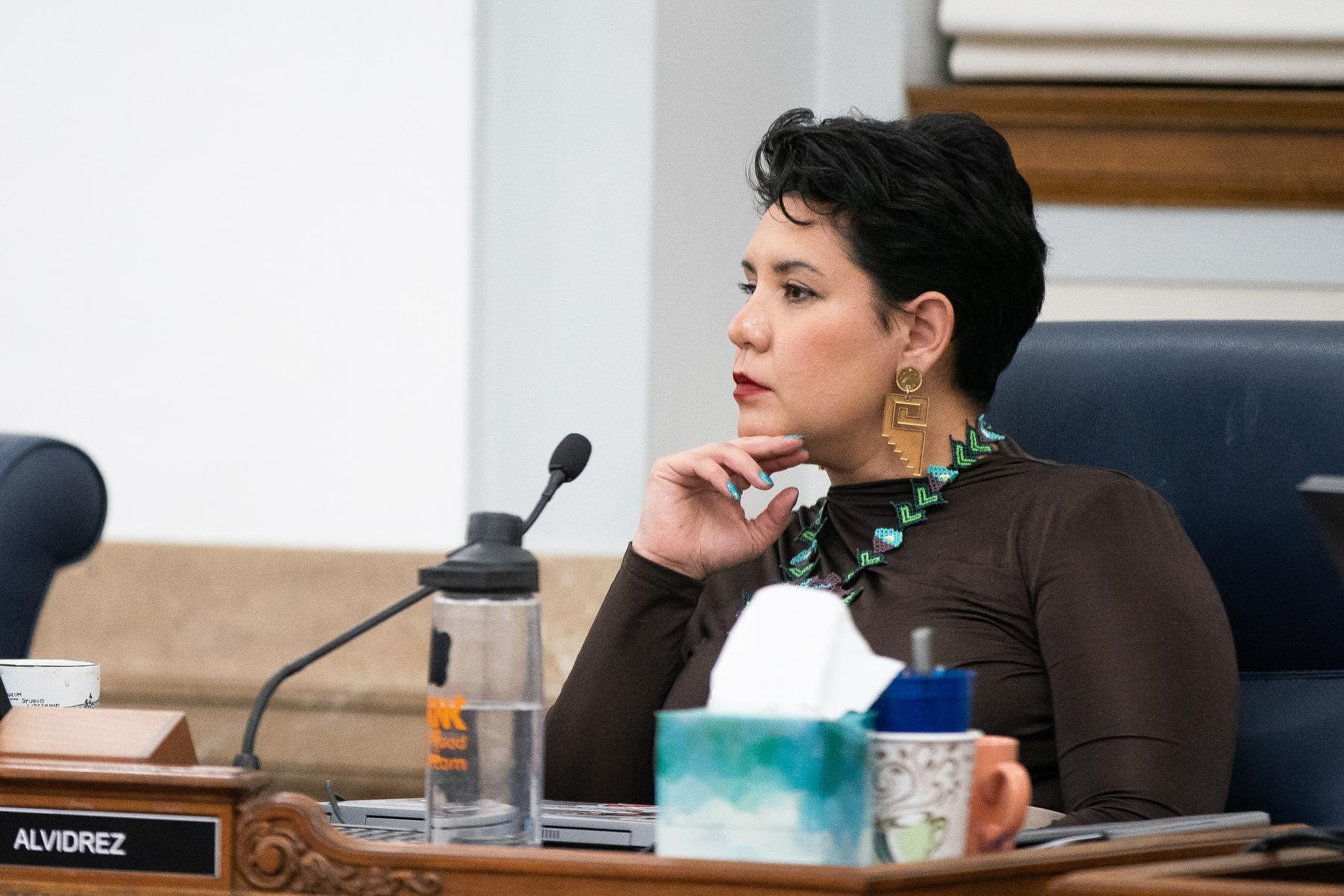
"It's not embedded within the culture of the city and Denver at this point," Shimomura said at a City Council committee meeting. "How does this get used at various decision making points within the city and county government, whether it be within budget making decisions or how we prioritize different projects?
And, to that point, the city already has started to map equity for far more than climate change alone. Here's what they've got so far.
The biggest question, Councilwoman Stacie Gilmore said, may be how the city frames this idea of inequity.
"How are you going to share this data in not a doom-and-gloom sort of manner?" she said at a recent committee meeting. "It’s frankly going to be a financial investment that needs to be made to address this inequity. It’s just not going to happen overnight."
To Shimomura, the key is to see inequity as something that can be changed. She also stressed that this type of centralized data can help the city and nonprofits seek external funding for projects in areas that need it.
What do you think?
Are these maps a useful way to think about Denver? What other factors would you like to consider? How should city officials act on them? Email me and let me know if it's OK to publish your name and comments.
Correction: This story was updated to fix the spelling of Michele Shimomura's name.