I would never wager to say that this is the nerdiest thing Denverite has ever done because....
However, my goal is for this ranking -- of the best RTD rail station areas -- to be in the conversation.
This is all about how big-time city geeks talk about the number of places to live, work and play around a transportation stop. The term for this sounds like it came from a government jargon algorithm: transit-oriented development, or TOD. It sounds complicated but it's really not, at least in theory.
Ideally, the thinking goes, a rail or bus station anchors a compact district where everything is within walking distance. The more people and places concentrated in these hubs, the fewer trips people have to make with cars. That's why city planners are so attracted to density.
These power rankings -- I did with the transit what they do with the sports -- are a blend of several things: Data from Denver's official TOD plan, my experiences with the stations within Denver, my background as a transportation reporter, and a consultation with Chris Nevitt, the TOD manager for the City and County of Denver (and former city councilman).
Now. Nevitt told me that Denver's definition of TOD is nuanced.
"More density is more ridership for the transit system and more density is more people being able to access the asset that is transit," Nevitt said. "But we're trying to maximize the appropriate density. So the appropriate density around Perry Station, for example, is not 12 story office buildings. It's 3 and 5 stories.
"I'm not asserting it as gospel. I'm asserting it as what is in our plans, and our plans were created with a long public process."
Denver is not very good at this, according to transit experts.
A big reason is that we built most of our rail lines where it was easy, along I-25 and I-70 (as opposed to where people and things ... are). So not only was most of the system built for driving -- you can tell because of the exits right off of the highway and giant, free parking lots -- but the highways slash through the land and sap walkability.
This is all to say that Denver is playing catch-up when it comes to TOD. Urban planners hope to build population centers around rail because RTD did not build rail around population centers. As you'll see from this list -- and a quick look out the window on the A Line -- Denver can only do so much to lure development. While the city can provide plans, incentives, and infrastructure, the private sector has to deliver to make these stations walkable.
Enough caveats! Let's fight!
1. Union Station
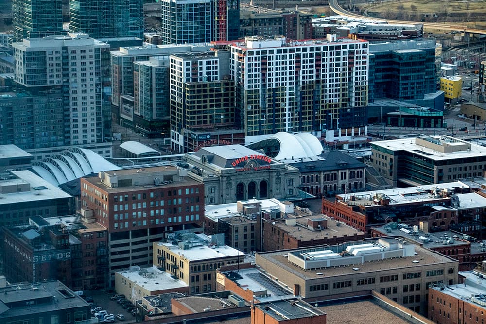
Why: The city's busiest transit nexus was already surrounded by places to live, work and spend money before its $54 million renovation drew 18 highrise developments to its orbit since 2013, according to the Downtown Denver Partnership. With seven RTD train lines and 18 bus routes (plus Amtrak service) coming and going daily, it's no wonder why Union Station is the most bustling place in Denver -- and home to what we believe is the most transit-friendly apartment in the entire city.
But: No buts. Most transit experts agree it's a national example of good transit-oriented development.
2. Downtown's Stout Street & California Street stations
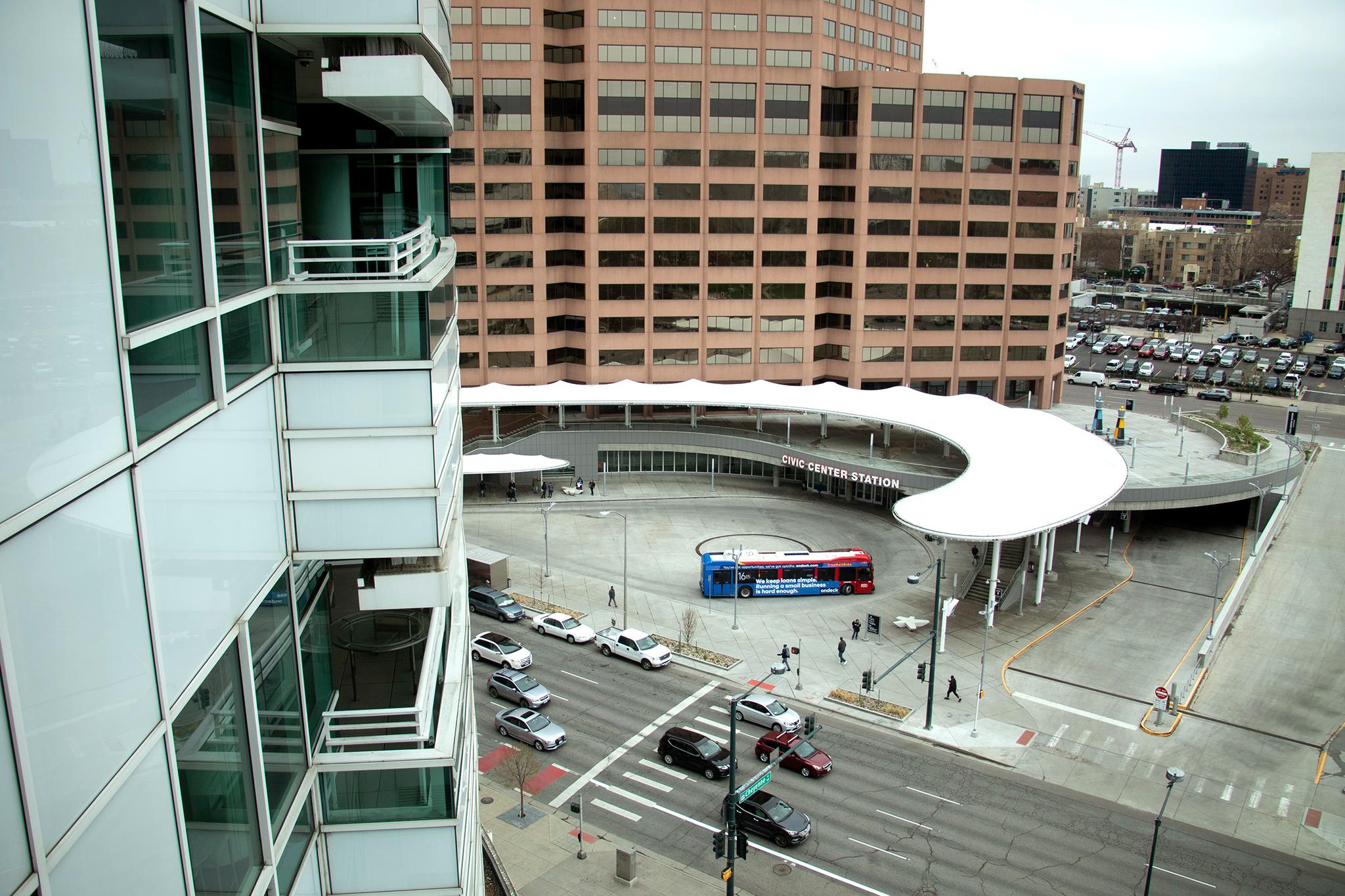
Why: There's no better way to get to Central Business District office buildings (or Hard Rock Cafe or Cheesecake Factory) from the suburbs. Also the Free MallRide is right there!
But: Sometimes people complain about the 16th Street Mall, I guess. But how much have you really thought about what it is?
3. Theater District-Convention Center
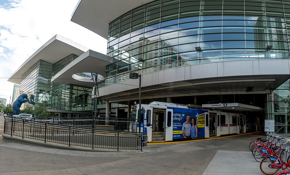
Why: Its orbit pulls in so many people for so many things, and once here, it's not only easy to catch a bus or a train, but it has walkable and bikeable streets. Which is great for drunk GABF pretzel necklace people.
But: More tourists probably sleep here than locals.
4. Welton/Downing stations
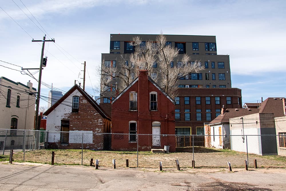
Why: The already walkable Five Points drag continues to add housing by the thousands nearby, especially in Arapahoe Square and River North.
But: The service isn't the most frequent, making it faster sometimes to bike, walk or wheel downtown if that's where you're going. Another asterisk: High living costs have displaced many lower-income people, who stand to benefit most from public transit, from the area.
5. Louisiana-Pearl
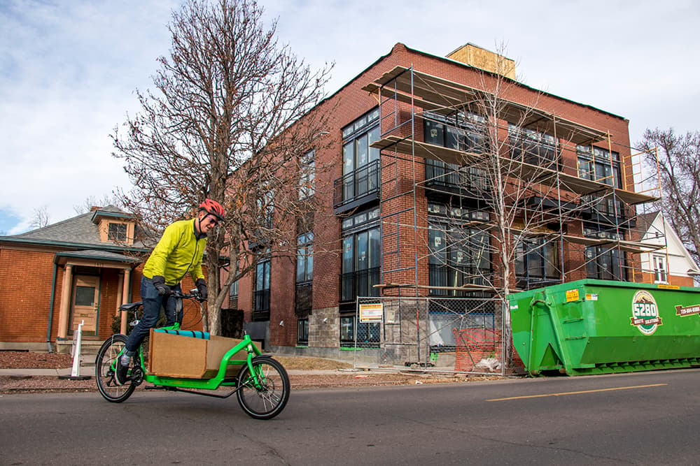
Why: This station is the first one outside of the city's dense-ish core to break the top five because you can walk so many places in every direction, unlike most stops along highways. The businesses on South Pearl Street and Wash Park help the station's cause. Plus it has transit-oriented all-you-can-eat $6 wings at Pub on Pearl.
But: Most of the homes are single-family houses, but apartments and condos exist here, too.
6. 10th & Osage
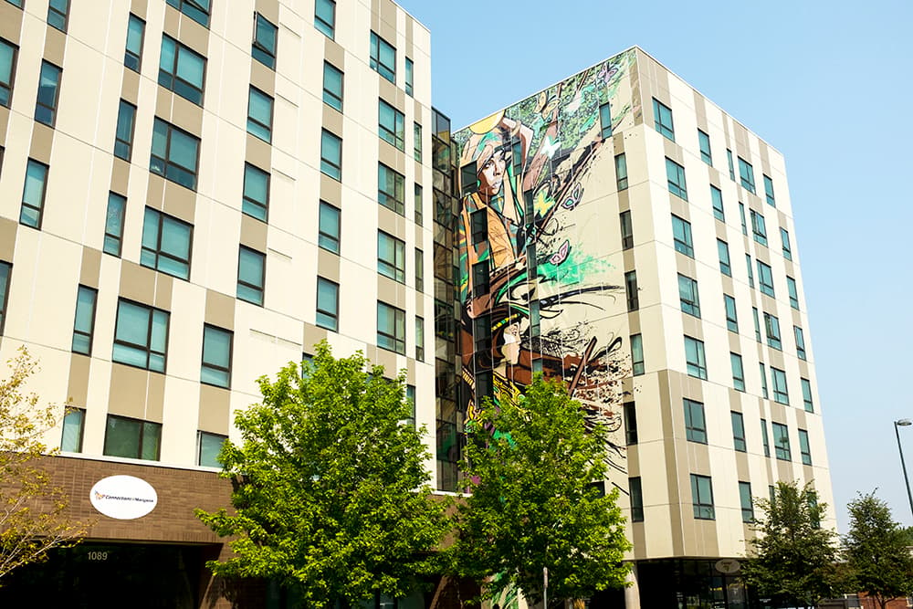
Why: My favorite part about this area is how perfectly it defines the word mixed. Its mixed-use buildings house people of mixed incomes and mixed ages. It also mixes one of Denver's most modern station areas with the Buckhorn Exchange, a faded brick building that owns Colorado's oldest liquor license. And fried bull testicles. Sorry, I'm done sugar-coating it by pretending they're oysters.
But: This station would be ranked higher if I-25 didn't slice its usefulness in half. There's nothing accessible west of the tracks.
7. Colfax at Auraria
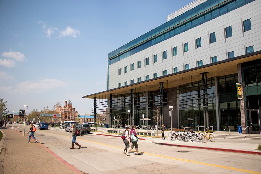
Why: It has high ridership because of all the college students who use it. It releases them into a self-contained area with most everything they need so no car is necessary. The Cherry Creek Trail isn't far and neither is Domo, Denver's best Japanese restaurant/UN training facility/soup kitchen/garden.
But: This station literally has a "no pedestrians" sign across the street on Colfax Avenue, which is a pretty hostile road for people walking in this area.
8. Knox
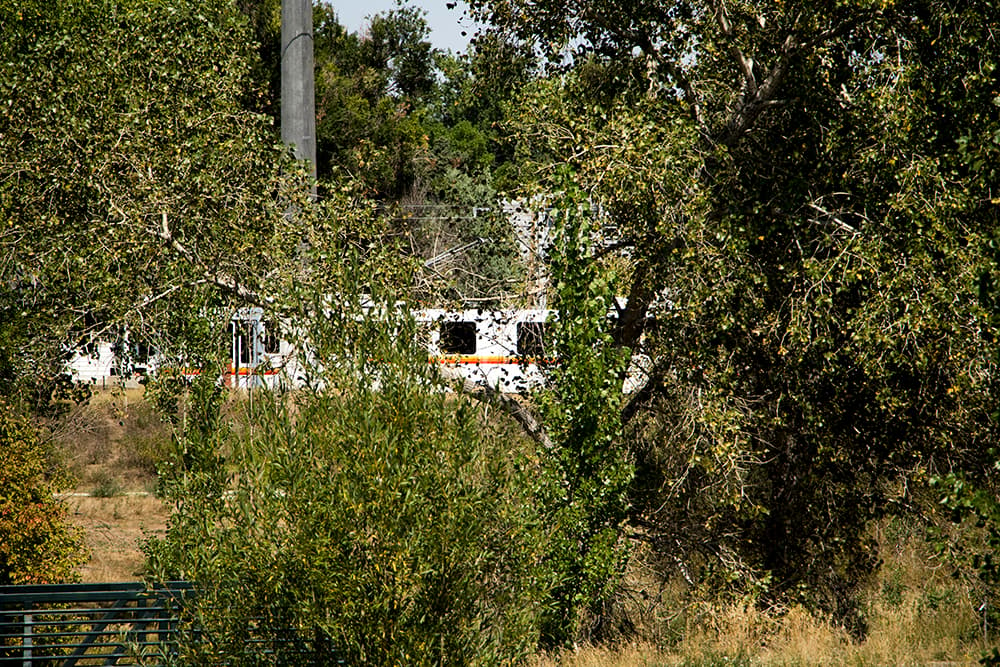
Why: Westsiders have a pretty good setup with Perry Station, which is inside a park near Knox Court and 12th Avenue. Transit-oriented chill! The station has one of the city's best walksheds (a measure of how much you can actually safely walk straight from the station) and also caters to a decent amount of people in publicly aided apartments.
But: Even though the West Colfax commercial strip is three blocks north, Knox is pretty hidden from public view. It's hard to get people to ride the train if they can't see it.
9. Perry
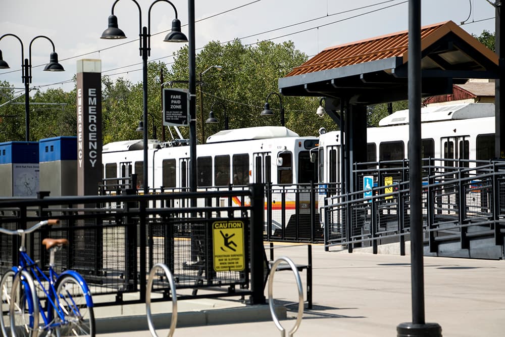
Why: It's one stop west from Knox and nearly identical, but slightly less dense.
But: Perry will serve way more people once a cluster of new buildings with hundreds of homes (half affordable) and some businesses rises nearby.
10. 38th & Blake
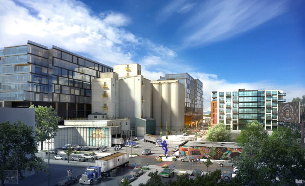
Why: It's sandwiched between Brighton Boulevard and the southern section of River North, two streets that are rapidly infilling. This A Line stop is also the first in Denver to incentivize affordable homes by offering developers the option to build higher in exchange.
But: One stop away from Union Station, 38th-Blake will move up in the rankings once the area fills in. In the meantime, construction has made the station somewhat inaccessible.
11. Denver International Airport
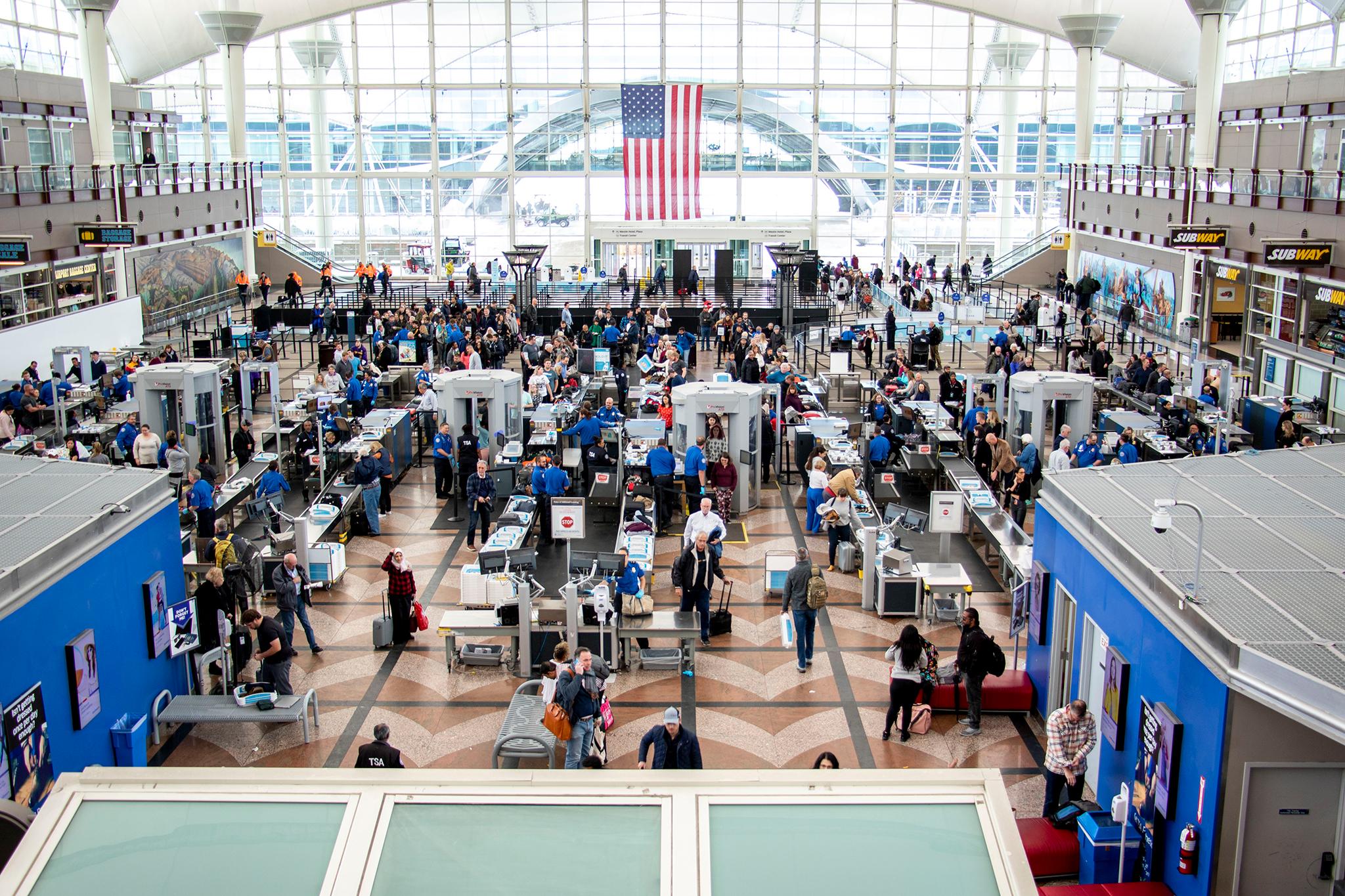
Why: This is a weird one but the way I see it, planes are the fastest transit of all so it's hard to deny a station that can connect anyone who passes through it with literally any place in the world -- including transit-rich cities like Chicago, Copenhagen or Singapore. Arguments welcome.
But: The "aerotropolis" -- a self-contained "airport city" envisioned for the area around DIA, hasn't exactly materialized. So once you're there it's either fly away or dine at Panda Express.
12. 41st & Fox
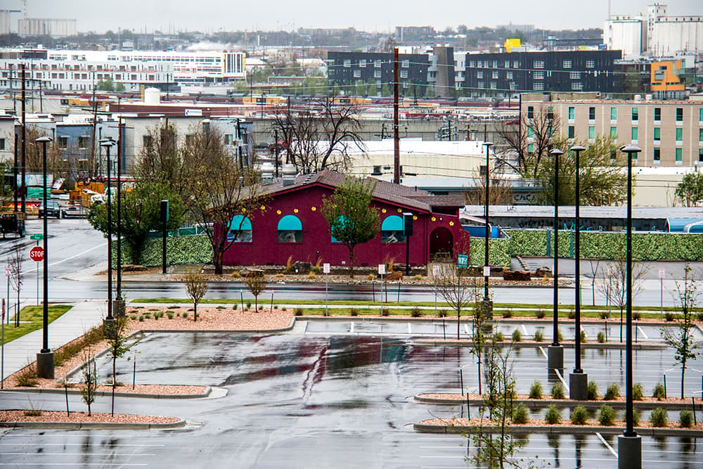
Why: This station on the border of Globeville and Sunnyside is defined by its potential, not its current state.
But: What if all the real estate speculation doesn't translate to more compact places for people beyond the houses and industrial lots that characterize the area, and what if only wealthy people can afford to live there? What if the city's bid to quell car use on the constrained "Fox Island" fails? What if instead of urban density, the market delivers a Home Depot instead?
13. I-25 & Broadway
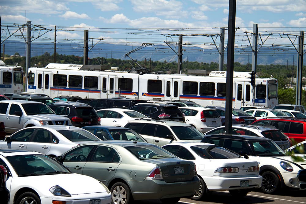
Why: Apartments and condos have shot up nearby over the last several years, and city planners imagine an entire new neighborhood -- "Midtown" -- filling in the chunk of land next to the station, exponentially multiplying the number of people who can head to work downtown or elsewhere by rail.
But: Walking and biking surrounded by the interstate and really busy roads leave a lot to be desired, and the streets department recently widened Broadway and other roads, increasing crossing distance for pedestrians.
14. Alameda
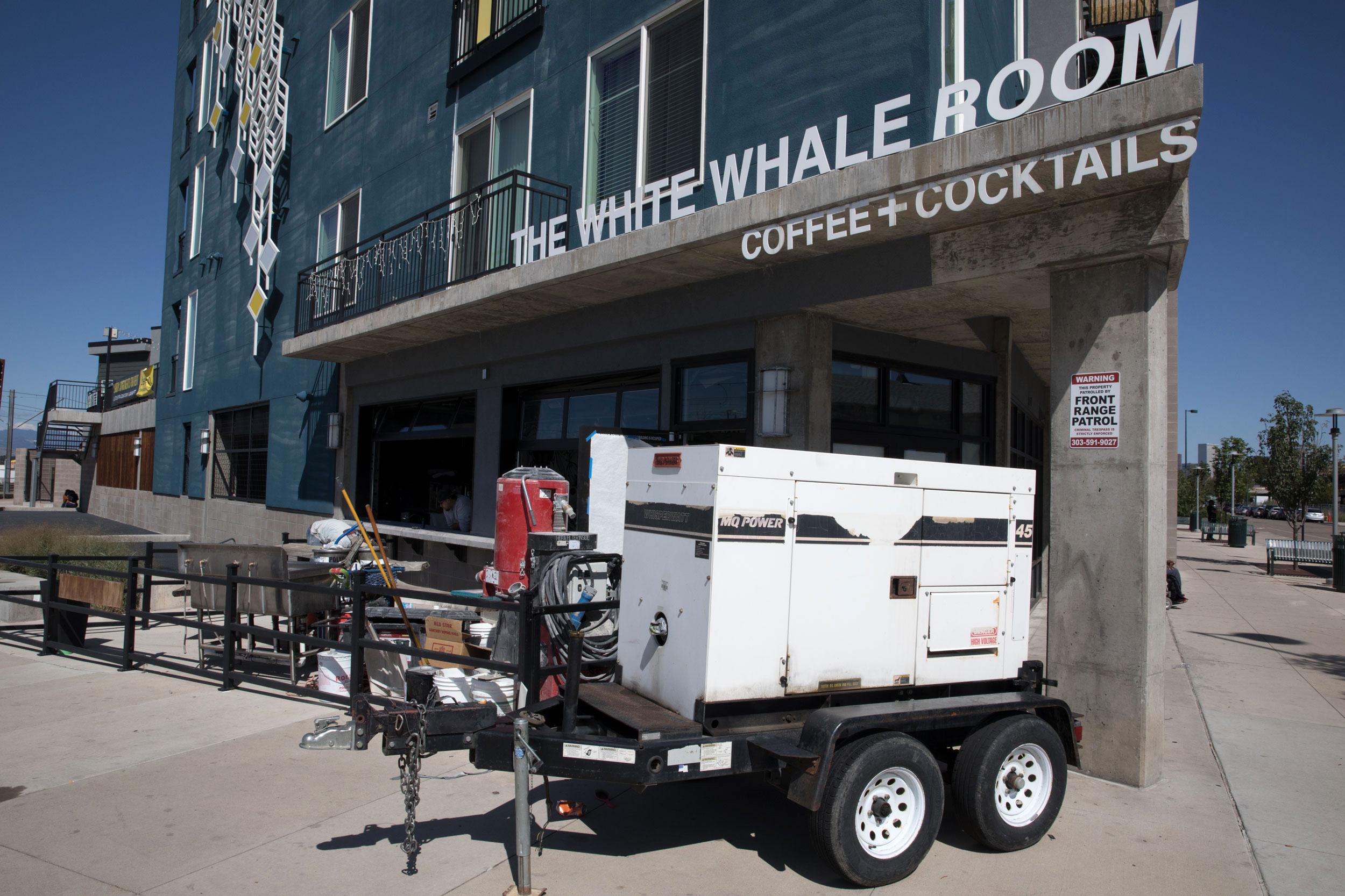
Why: It's a quick walk to the South Broadway strip and an even quicker one to the apartments and businesses that literally overlook the station. Plus the old K-Mart is on its way to becoming something that's not a K-Mart.
But: It's still directly surrounded by strip mall parking lots and, like 10th & Osage, it doesn't have any places for humans west of the tracks.
15. University of Denver
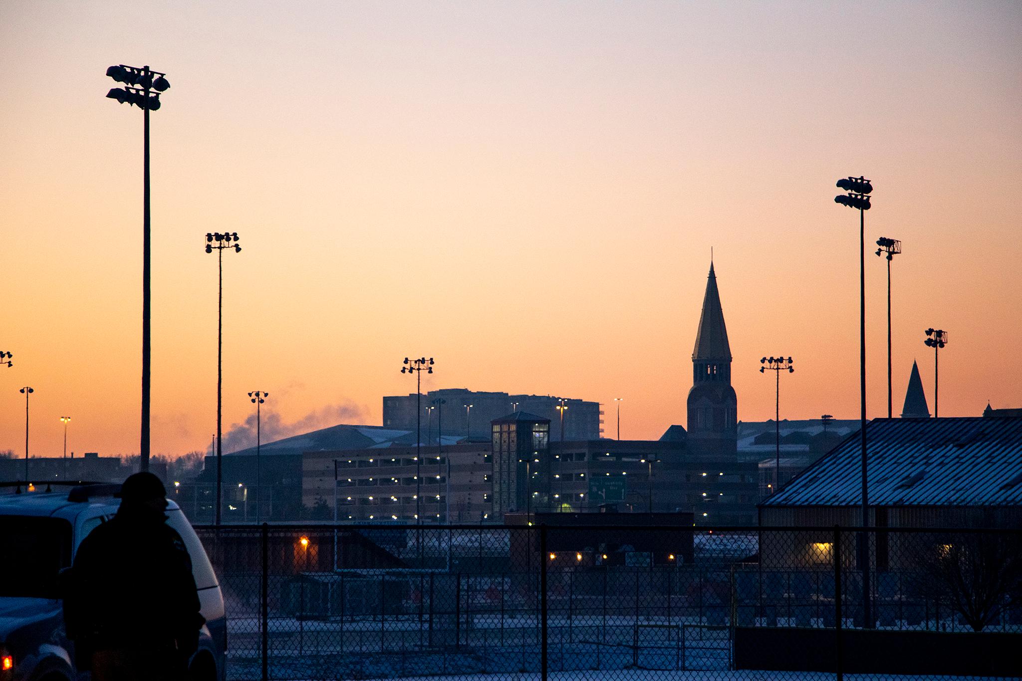
Why: Because it serves more than 11,000 students plus staff and the surrounding neighborhoods with a network of bike lanes nearby.
But: The university is spending time and money -- along with the city government -- to create a "mobility hub" around the station, so it could move up in the rankings in the future.
16. Auraria West
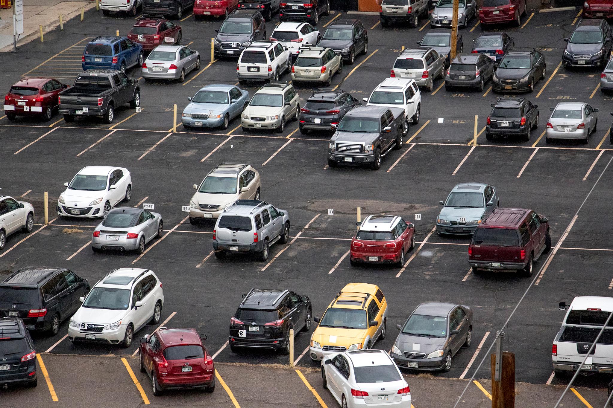
Why: A sea of parking lots.
But: City documents call the development potential "high."
17. Colorado
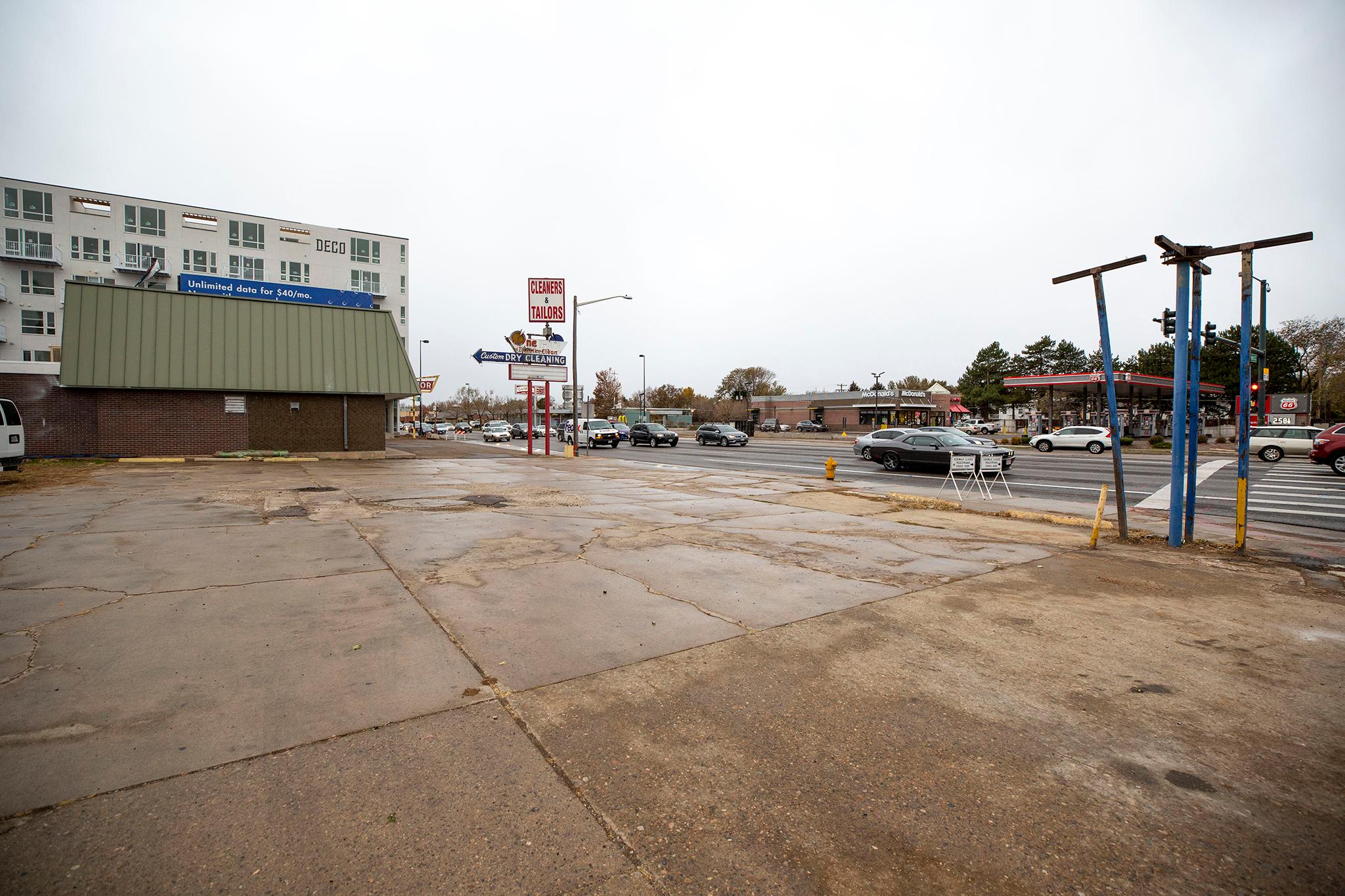
Why: Dave & Buster's, duh.
But: Dave & Buster's, duh.
18. Central Park Boulevard
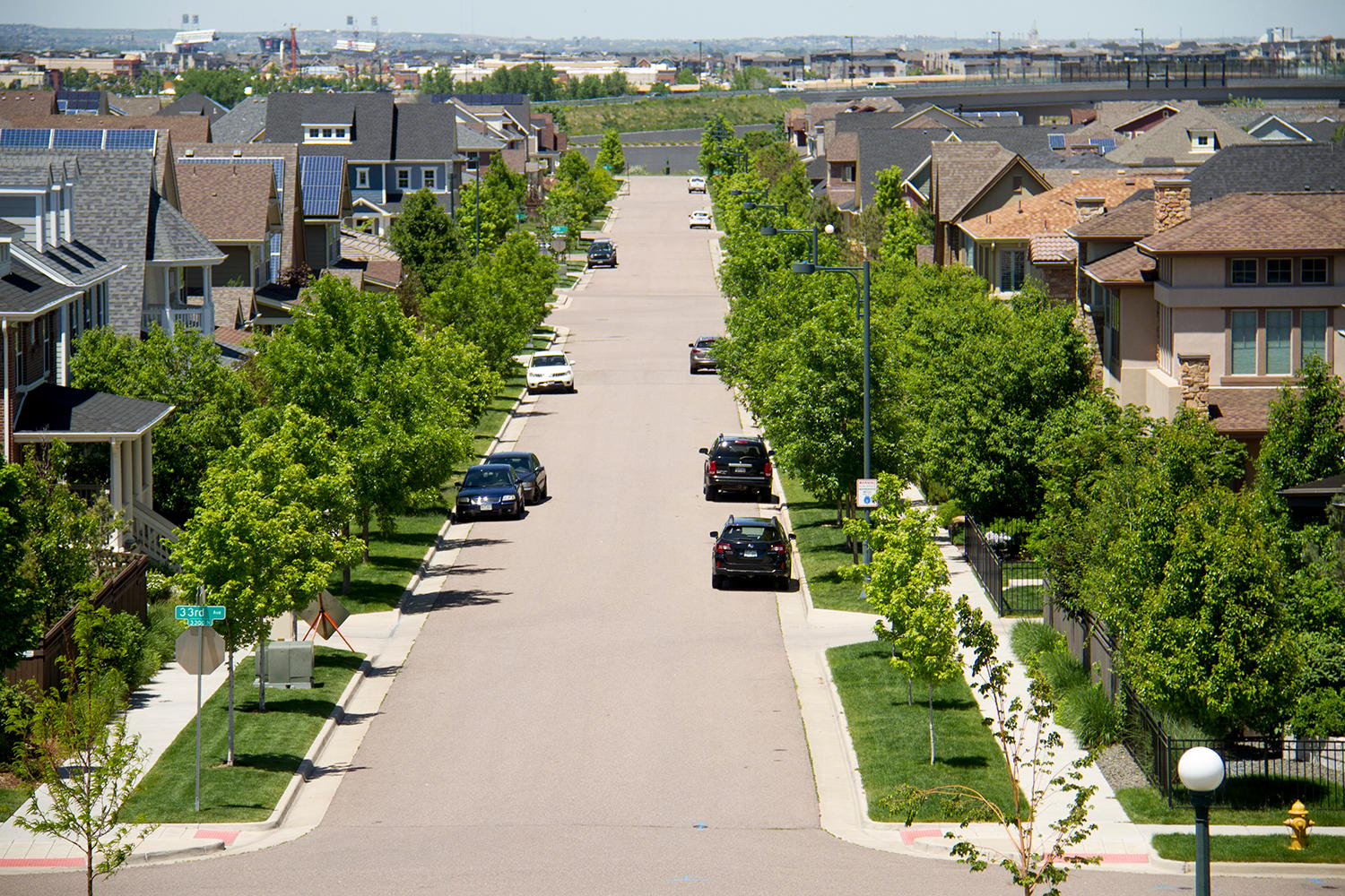
Why: Development is inching toward Central Park Station -- Stapleton homes are within walking distance -- but hasn't quite reached its front door yet. Plus sidewalks are missing nearby.
But: Central Park sounds really New York?
19. Yale
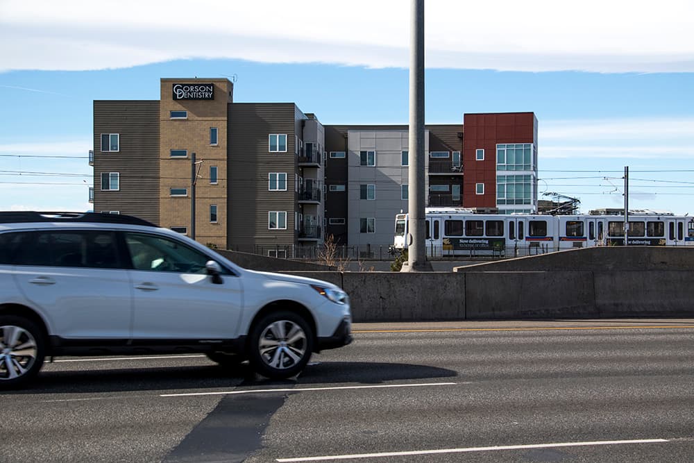
Why: There's a mixed bag of apartment buildings (including some dedicated to older Denverites) and single-family houses around Yale, a station whose walkability is cut in half by I-25.
But: There isn't much more that can be done because of a lack of open land, according to the city's TOD plan.
20. Evans
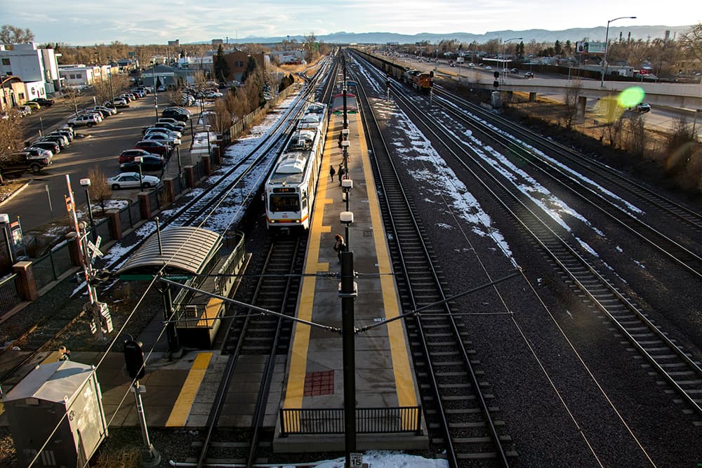
Why: Nevitt really likes this station because it's in a suburban area but "cool things are happening there" like Evans Streets Lofts, an apartment building for low-income Denverites that he says has catalyzed the area.
But: Walking and crossing the street around Santa Fe Drive and Evans may give you a minor heart attack.
21. Sheridan
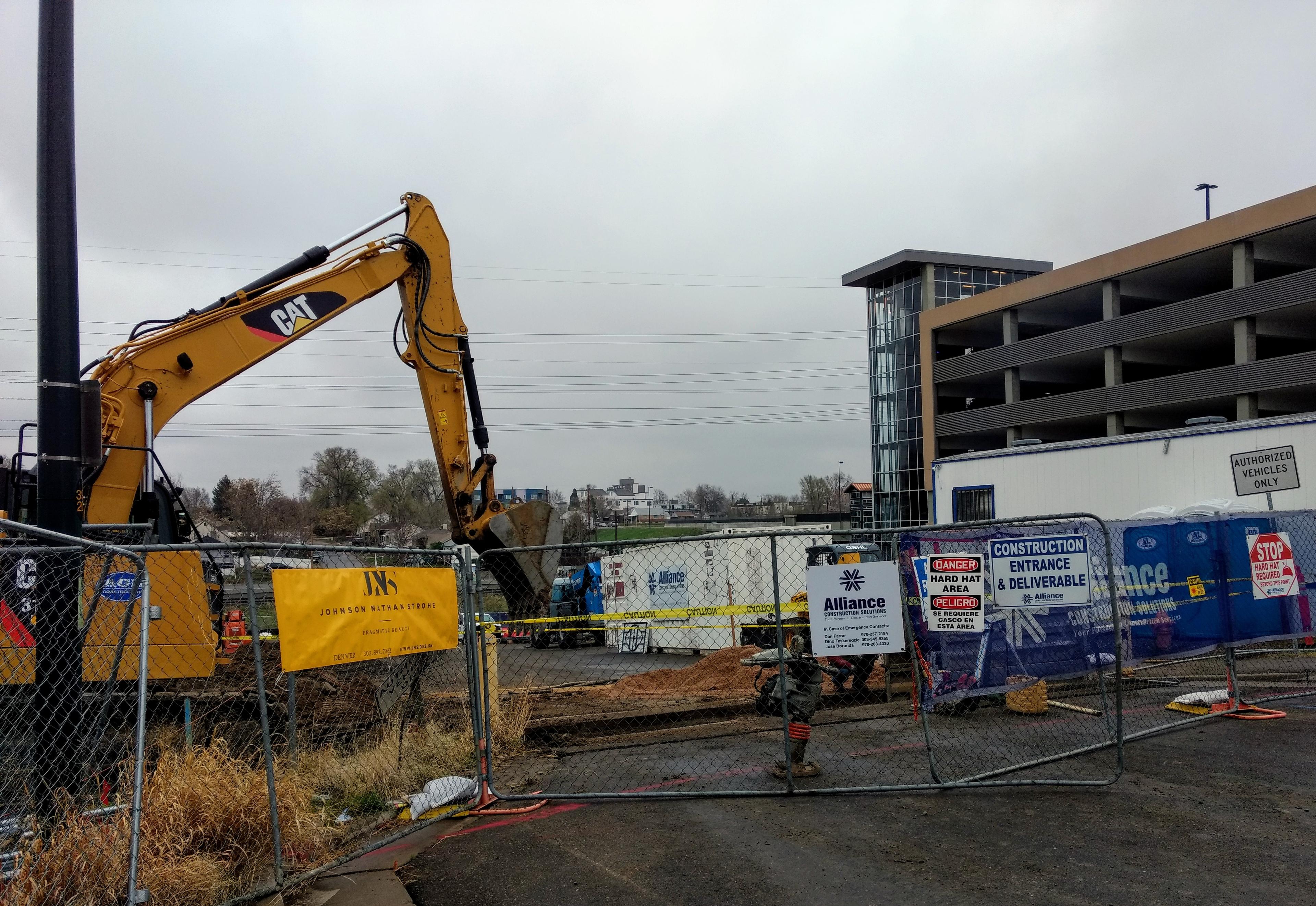
Why: This place is literally on a highway and it feels like it. The land use nearby is mostly sprawl and some of the sidewalks... don't exist.
But: Things are still being built around Sheridan Station on the edge of Denver and Wheat Ridge, including 133 apartments for people who don't have much money. Plus it's near a walking and biking trail.
22. Decatur-Federal
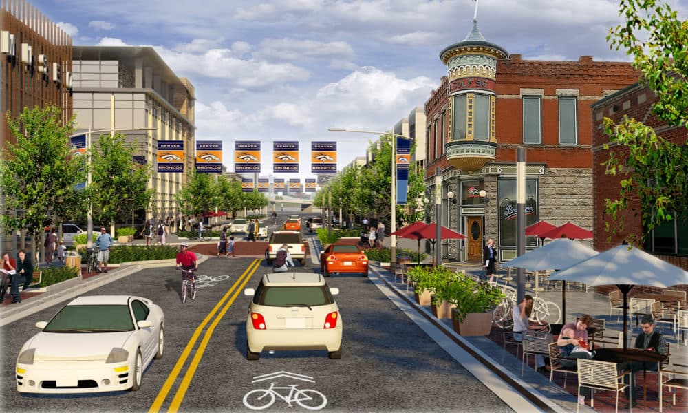
Why: It's not that it's far away from stuff, it's that getting to those places can feel like Fury Road. Fourteenth and Federal is one of the city's most dangerous intersections, while the Colfax and Federal cloverleaf saps walkability. (Walkability-focused people have a lot of hopes and dreams about the cloverleaf.)
But: "Mad Max" was a really good movie. Plus the city says it wants the station to resemble the image above. It currently does not.
23. 40th & Colorado
Why: There's still a bunch of low-density, industrial properties around here and the station is severed from the rest of the street grid.
But: New (attainable) apartments were already built, while more could be on the way because of the Urban Land Conservancy's holdings. The city also plans to reconstruct 42nd Avenue, opening up the station to the rest of the grid.
24. Belleview
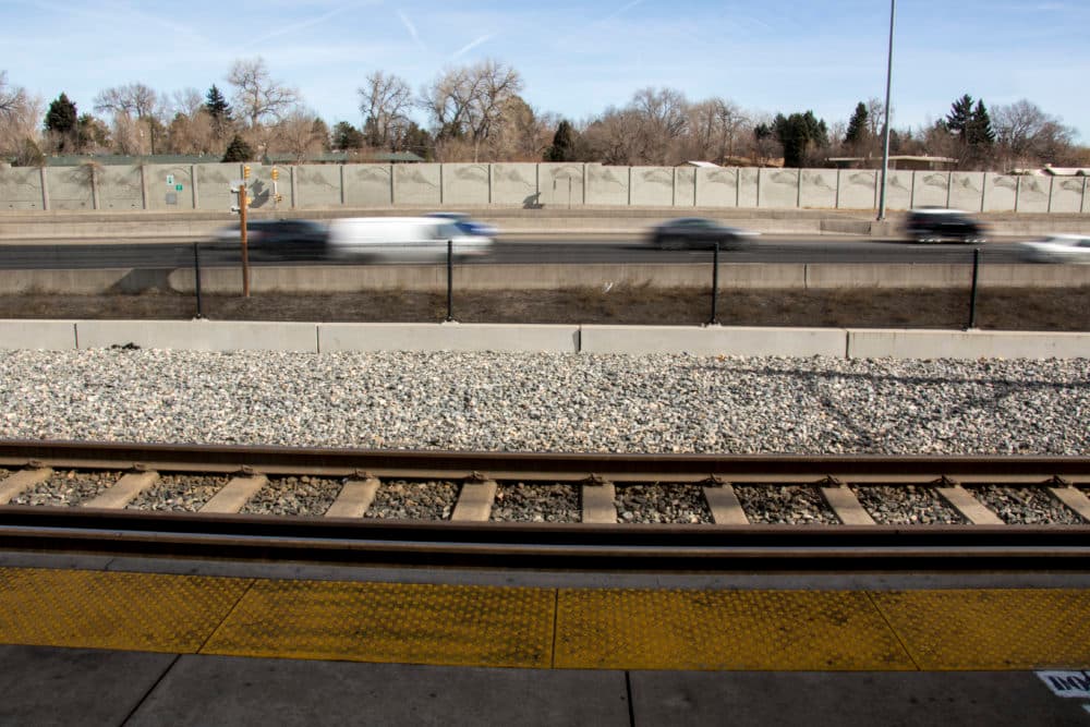
Why: It's pretty sprawly over here in a place you probably didn't think was technically Denver!
But: It's got big ambitions with a master-planned transit-oriented development. Sorry for the jargon. That's what it is.
25. Pepsi Center/Elitch Gardens
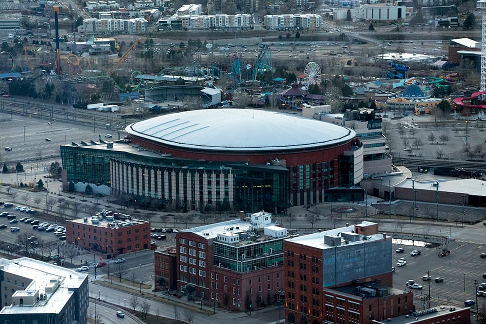
Why: It's surrounded by a crater of parking lots and serves two places that are closed much of the day and much of the year.
But: I mean, there's nothing like watching Nikola Jokić dominate and then walking onto a train to gloat in public instead of idling in the parking lot.
26. Broncos Stadium
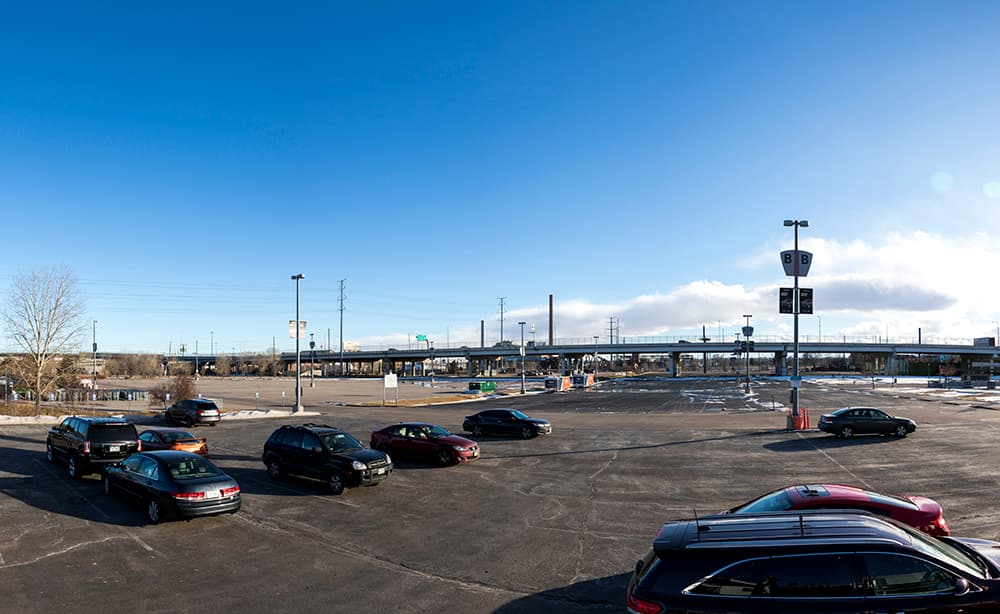
Why: See above.
But: See above, but replace "Jokić" with "the Broncos," "dominate" with "try" and "gloat" with "sulk."
27. Southmoor

Why: Back in the day, neighbors fought and won the ability to make this station far less useful than it could be by baking anti-development measures into the station area plan. As a result, the station has low ridership and is difficult to reach without a car. Thomas Jefferson High School is right there, but it's hemmed in by Hampden to the north and I-25 to the east, meaning an otherwise short walk to school is more than a mile long.
But: No buts. This station is like a castle with a moat.
28. 61st & Peña
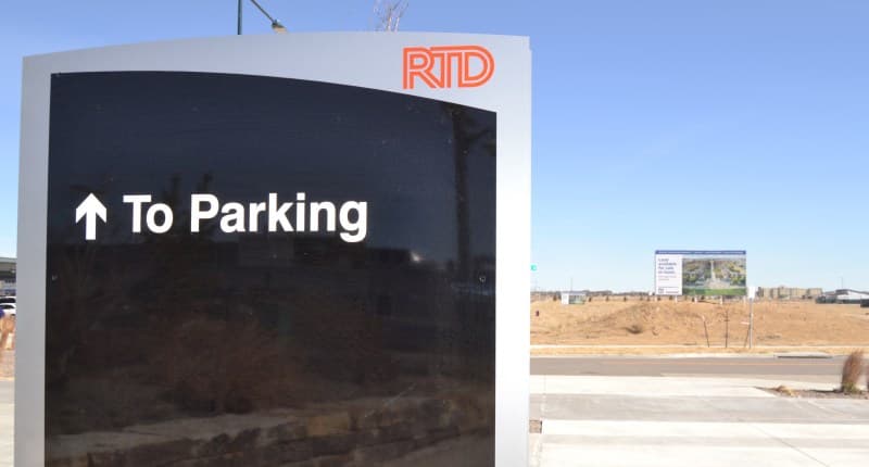
Why: According to the city's vision for this station area, it is supposed to be a "smart city" full of places and tech where nothing is more than a 20-minute walk away.
But: According to reality, nothing really exists here beyond a Panasonic office building with a giant parking lot and one hotel. So far, the market hasn't responded to the hopes of city planners.


