The Denver City Council is about to decide whether to build a huge flood-control project in Denver with a significant hike to sewer service prices.
If the city's leaders say yes (UPDATE: They did.), the average Denver utility customer will see their combined sewer-stormwater bills increase by more than $20 each year between now and 2020. At the end of that period, the typical homeowner would be paying $435.99 a year compared to $320.28 today. About a quarter of the money would pay to reshape parts of north Denver with an artificial stream bed, buried pipes and flood-stopping ponds.
That project, called Platte to Park Hill, has come under intense public scrutiny lately, in part because its infrastructure runs through neighborhoods that have long dealt with the worst side-effects of Denver's industry and development.
It's an immensely complicated project, but we've tried here to address the most common questions: Who's it going to benefit, is it really necessary, and how will it affect the people who live near it?
What problem is Platte to Park Hill trying to solve?
When it rains in north Denver, the water that accumulates on the ground has to flow downhill to the South Platte River. In one particular part of north Denver, in the geographic drainage basins of Montclair and Park Hill, the water doesn't have many ways escape.
Development in the basins has covered over the natural streams and routes that rainfall takes down to the South Platte. In the places closest to the river, the heaviest storms might instead send water flooding into streets and basements — and, as it happens, into the intensive transportation and development projects popping up south of the South Platte River.
The Montclair and Park Hill basins are Denver's "highest priority" for flood control, according to Nancy Kuhn, spokeswoman for the city of Denver. Those priorities are calculated by a scoring system that looks at categories ranging from its history of floods to "social justice," a metric that gives priority to lower-income areas.
You’ll be most impacted by this project if you live near Elyria, Swansea, Cole, Clayton, Skyland, Whittier, Five Points and Northwest Park Hill. Its projects are specifically anchored in Globeville, along 39th Avenue, at City Park Golf Course and at Park Hill Golf Club.
The city wants to do this in a few different ways.
The Platte to Park Hill project would build a new course for the water, potentially giving it a less harmful route out of the city. Let’s go one by one through the possibilities being discussed.
The city would redesign the golf course, turning part of it into a big depression (a "detention area") that temporarily traps water during major storms. Doing that should slow the flow of water cascading down toward the river during storms. The course would remain dry during normal weather.
Denver will finish designing the thing later this year and promises that after a year-plus shutdown for reconstruction it will be "even more enjoyable for golfers." The project likely will require a reshaping of the terrain and the removal of a couple hundred of the course's 800-plus trees. The city would replant enough trees to make up for the lost canopy coverage, according to its project page.
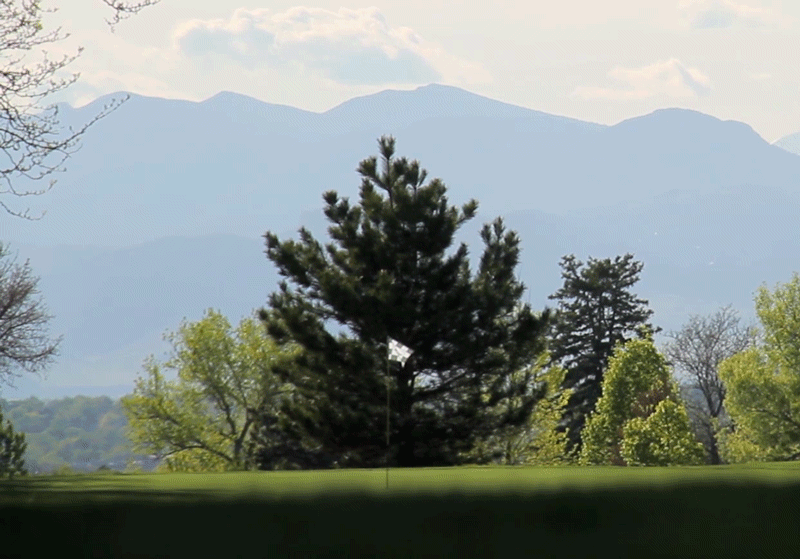
It’s not easy being a golf course in this town. Just like City Park, this one would be rejiggered to detain stormwater. Construction would begin 2019 or later.

This project would create a stretch of open, natural space along 39th Avenue. During a storm, water would naturally find its way down here and turn west toward the river, rather than down toward Interstate 70.
When it’s not raining, about 12 acres of the channel could be used as recreational space in the Cole neighborhood, and the project also includes a greenway trail between Franklin and Steele streets, according to the city.
The city would need to acquire land mostly owned by businesses and "a handful" of residents to build the channel.
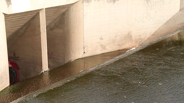
All that water still needs a way to get out of Denver. The city wants to make Globeville Landing the “outfall” where the basin's floodwaters reach the South Platte River.
The park, which sits directly on the river, already serves that mission. The redesign would replace the park's current concrete channel with an open, natural channel – something more like a creek – along with underground pipes, including one “very large” one connecting the park to 40th and Blake streets.
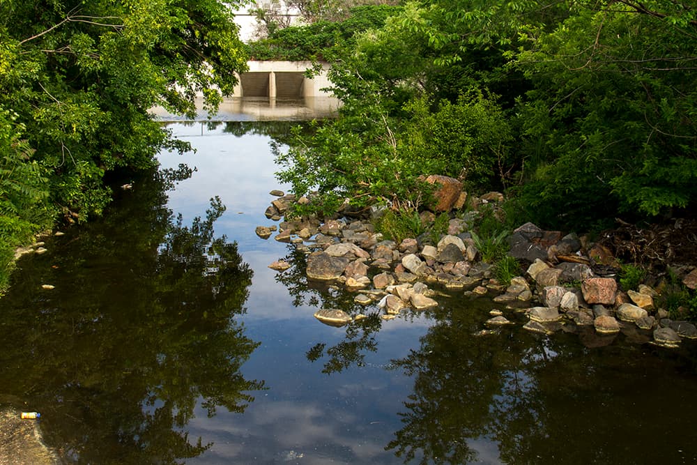
The city says it will add half an acre of land to the park. Residents, however, are worried that the redesign would shrink the amount of usable land in the park.
Here's the official video about all this:
Opponents of the project have a different take:
How we would pay for it:
The Platte to Park Hill plan could cost between $267 and $298 million, in all; the city is considering taking out two packages of debt, totaling $206 million, for the project. Another $18 million might come from the city's bank account, and $74 million could come from CDOT and the Urban Drainage and Flood Control District.
To pay for it, Denver would increase the stormwater portion of the average homeowner's utility bill by $5 per year through 2020. The bonds would be paid back over a 30-year period.
Why people are worried:
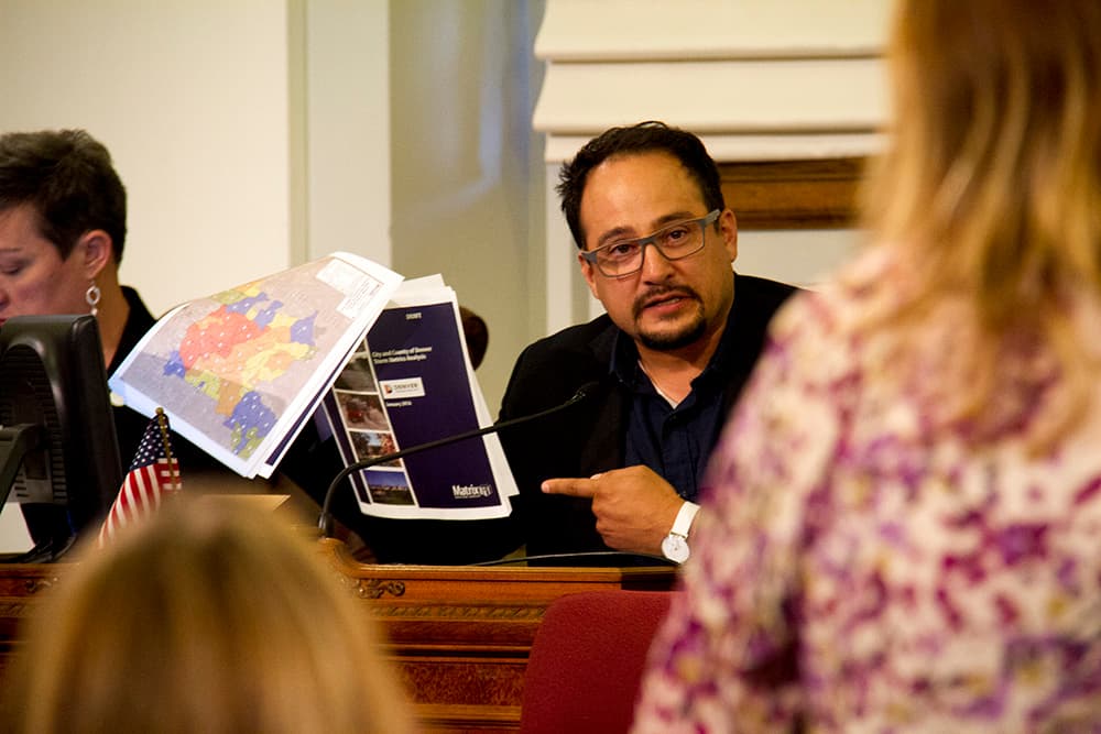
The following council members have expressed the most significant concerns about the project: Kevin Flynn, Rafael Espinoza, Debbie Ortega, Wayne New and Paul Kashmann. Three of them (Espinoza, Flynn and Kashmann) voted against the fee increase at an earlier meeting.
Let's break down some of the questions at play.
Who does it benefit?
The image below is a bit hard to read, but it shows the areas that would see the greatest anti-flooding benefits from the project. The purple area, which extends north from 39th Avenue, is getting "primary" flood protection, while yellow shows "secondary" protection.
The primary protection area includes both the Elyria and Swansea neighborhoods and the redeveloping industrial area nicknamed RiNo.
To Heidi Sue Harris, a resident of the Cole neighborhood, this is a reason for concern. She figures her area is going to see the bulk of the inconveniences and hazards of the system, but less of its benefits.
"We realized that the water’s going north, and if you put a storm drain north of us, it’s not going to give us any protection," Harris said in a phone interview, adding that she suspects the project has been tailored to benefit RiNo developers.
What hazards does the infrastructure create for people who live near it?
Harris and others worry that construction of the open channel would cut through layers of contaminated soil, potentially returning harmful substances to the surface, and they think that the completed open channel might create a litter-filled "breeding ground for mosquitoes," according to a letter from Harris' attorney.
For its part, the city describes the open channel as "12 acres of new recreational open space in the Cole neighborhood," including a trail for bikes and pedestrians along the open channel.
Nancy Kuhn, the communications director for Denver Public Works, said that the city would test for and counter any environmental threats from construction. She acknowledged that the stormwater in the area in question is comparatively full of bacteria, phosphorous and nitrogen, but she contended that Platte to Park Hill is designed to make stormwater less harmful to people and the environment.
The city's approach is to "mimic the functions of larger natural systems" with vegetation in the open channels and constructed wetlands, among other strategies," all of which will be monitored to keep contaminant levels within health standards, she wrote.
What does Interstate 70 have to do with all this?
This is a complicated question involving several levels of government and a lot of money.
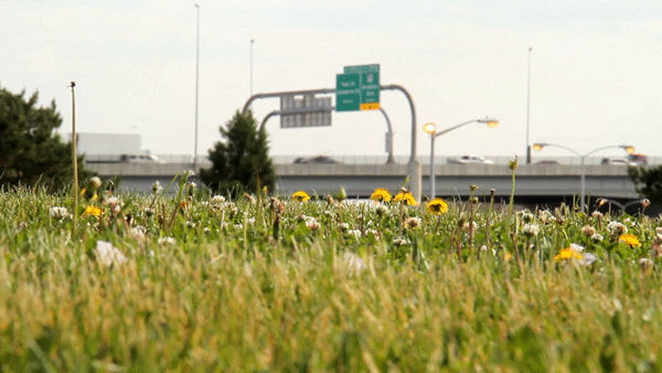
As you may know, there's a huge, $1.2 billion plan to sink and widen Interstate 70. The sunken highway will sit in the way of some of the water that is trying to reach the South Platte from points south, and CDOT has to find a way to keep that water out.
The state already has a plan for that. It's designing a series of detention ponds and big pipes that could be built near the highway, with no expected impact to private property owners or public parks. This system would only protect the highway and not reduce neighborhood flooding, according to CDOT spokeswoman Rebecca White.
However, the city's project could help CDOT keep water out of the highway, potentially reducing the scale of the highway's flood-protection system, according to White.
"We would still need a drainage system for I-70, but what it could likely be is smaller detention pond and smaller pipes, so we would likely be able to downsize it," she said in a phone interview. That's why CDOT is offering the city tens of millions of dollars for the Platte to Park Hill project.
This confluence of interests has bred skepticism. Critics of the city's project wonder whether it would be happening at all if not for CDOT. In Alan Prendergast's extensive reporting on this subject for Westword, one engineer questions whether this level of flood control is necessary.
Platte to Park Hill aims to handle flooding from a 100-year storm — one that has a predicted likelihood of 1 in 100 for a given year — while most city projects aim for the more common and much smaller 5-year storm.
"I want the public to know: CDOT would be mitigating the 100-year flood risk as it relates to I-70 regardless of whether we put in a new channel or not," Espinoza, the councilman, said at a meeting. "... Let CDOT mitigate I-70."
By contrast, Councilwoman Robin Kniech takes that same fact — that the I-70 project creates a new need for flood control — and casts it as a reason to go ahead with the new stormwater controls.
"I would rather get credit for something we need anyway than to simply give them cash to put into something we didn’t want," Kniech told the rest of the council.
City staff make much the same argument: They say that the project is a necessary way to stop flooding, and that the interstate plan is an opportunity to do that. The project, according to the city, would be necessary with or without the state's I-70 project.
What's next:
Well, if Denver City Council approves the fees, then the government has to finish designing the thing. There is a public hearing scheduled for Monday before the council votes. Opponents plan to rally in front of the City and County Building. The city has generally set its strategy here, but the exact shape of its impacts and arrangement could evolve in the months to come.
When construction begins, the project will be among the city's largest and most complicated. Combined with intense developer interest and the Interstate 70 plan, it's guaranteed that the residents north Denver will be dealing with construction and its consequences for many years to come.