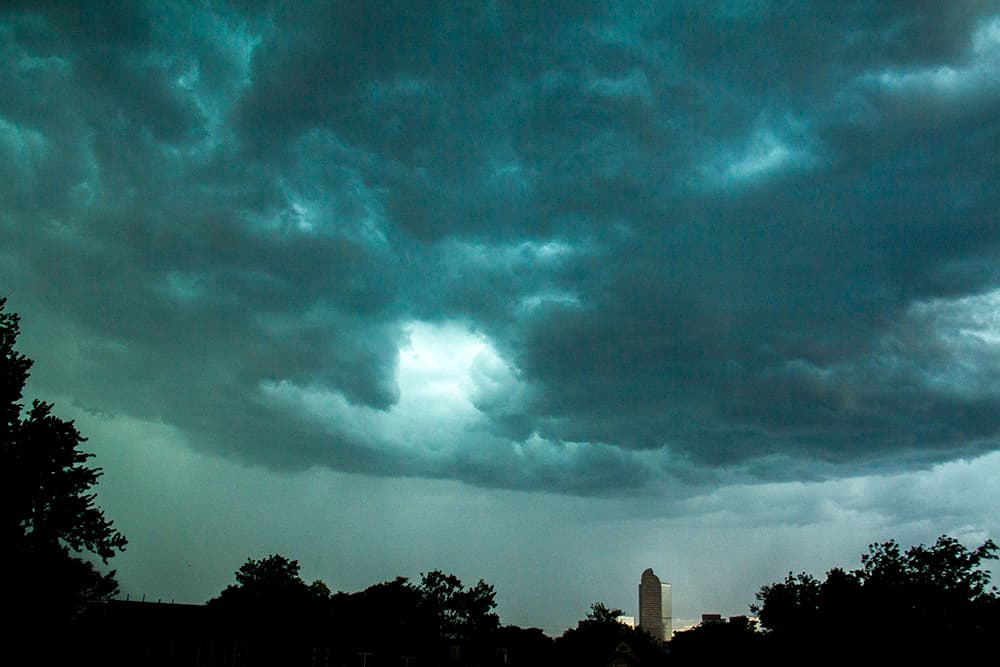
A brief but intense thunderstorm washed over Denver on Monday morning, covering roads with hail, forcing flight cancellations and spouting water into downtown streets.
Hail from the storm damaged about a dozen planes at Denver International Airport, forcing Southwest to cancel flights, 9News reported. The skies had partially cleared by early afternoon, but forecasters expected more severe weather.
There's a chance of more thunderstorms after 3 p.m. today, with the greatest threat on the plains south of Interstate 76.
Another round could follow on Tuesday afternoon, including the potential for golf-ball-sized hail, isolated tornadoes, and very heavy rain on the plains, according to the National Weather Service.
Wednesday and Thursday should be clear, with highs in the 80s. Friday brings another chance of storms.
Let's review safety tips and interesting facts.
In general, you might want to keep your automobiles, plants and assorted other valuables covered. You should also remember not to drive your car into a flooded roadway.
If you're outdoors, beware that lightning can strike far ahead of a thunderstorm. Colorado has one of the highest lightning injury rates in the country. (In fact, scientists keep track of it with a network of sensors.)
In heavy rains, northeast Denver is particularly susceptible to flooding. A hundred-year storm could be really dramatic.
And, in the summer, these storms are the result of a variation on our normal weather. Rather than blowing in from the west, storms can float up from the southeast on monsoon winds.
Lastly, if you get some hail, you can help out federal forecasters by filing a report on the depth.