Hello Denver!
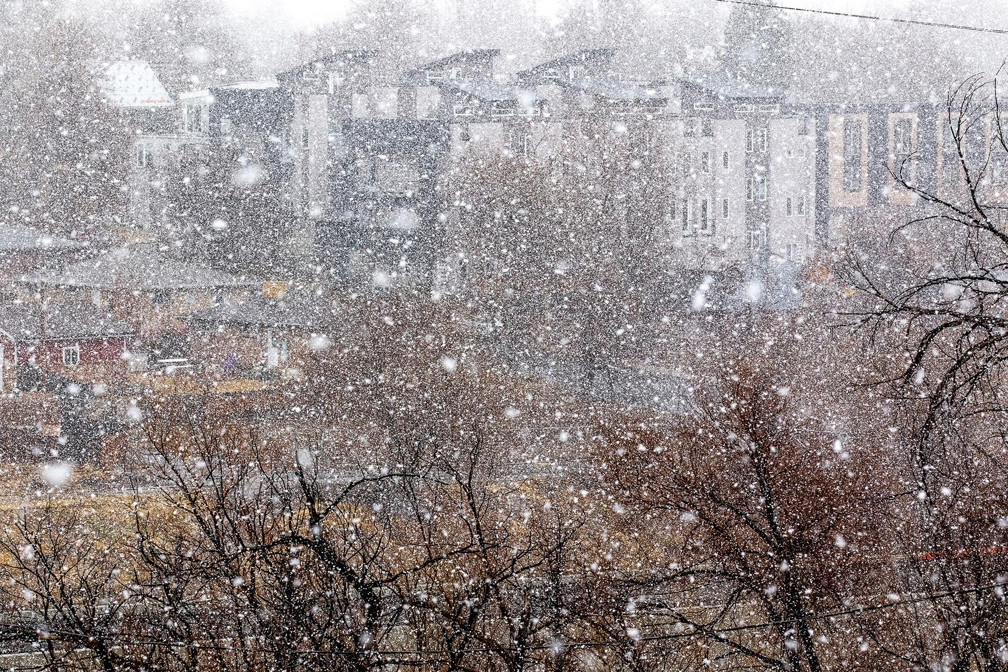
Saturday morning began on a grey note, with light showers and clouds hanging over the city. While the National Weather Service predicted freezing rain Friday night, they acknowledged it "didn't materialize." The agency said rain would last until temperatures dipped low enough for snow. Then, the Denver would become a proper snowglobe. By noon, flurries began to fall in earnest.
"Despite above freezing temperatures and a March sun angle, a good portion, perhaps 75 percent, of the snow that falls should accumulate during the day today," they wrote in their discussion. Their forecast predicts a 100 percent chance of "heavy snow" until Sunday night.
According to Denver's Department of Transportation and Infrastructure, 70 large plows will address Denver's main streets in 12-hour shifts. You can track them on an interactive map hosted by the city once they're activated
Residential streets are being plowed by a fleet of 36 4×4 pickup trucks. Drivers will deploy once the snow starts to accumulate. During each of their 12-hour shifts, drivers will make a single pass down the center of a street. They won't bring the street to bare pavement or carry deicer.
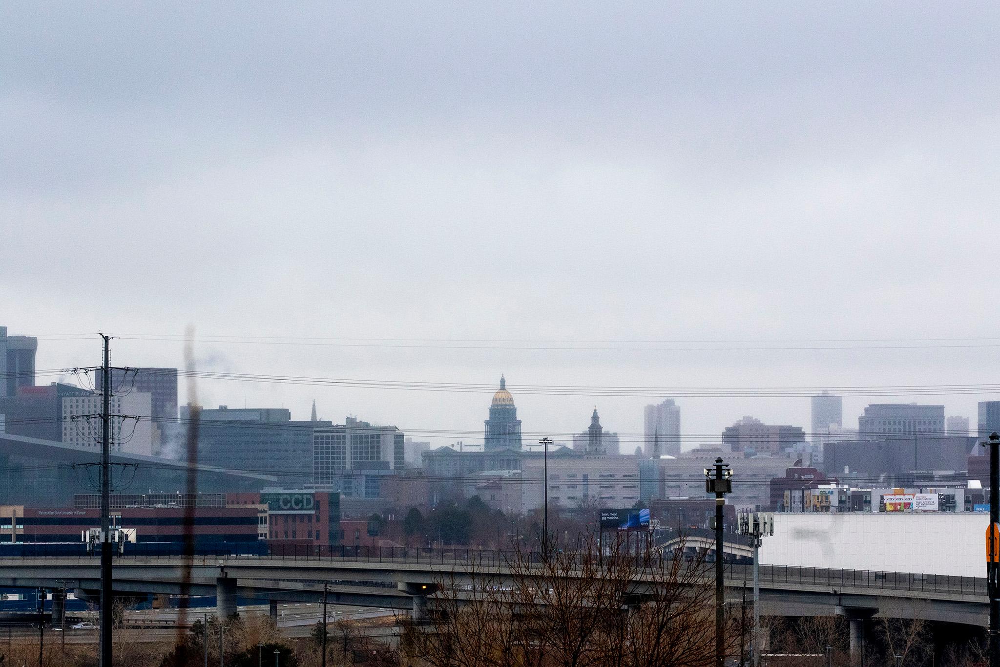
Forecasts earlier last week suggested this snowstorm could amount to one of the largest on record.
That title, by the way, goes to a storm back in 1913 that dumped 46 inches on Denver. A mammoth storm that folks might actually remember was in spring 2003, which totaled about 31 inches, closed I-70 in the mountains and ripped a hole in DIA's fabric roof.
Predicting totals for massive snowstorms can be tricky, as CSU climatologist Peter Bennett Goble told us last week. For one thing, weather people look at a bunch of different models that use different data to determine where a storm will go and how severe it will be. All week, the National Weather Service's forecast discussion warned that their predictions would likely change, even as national news ran with the blizzard story.
This story has been updated. Email snow pics to [email protected]!

