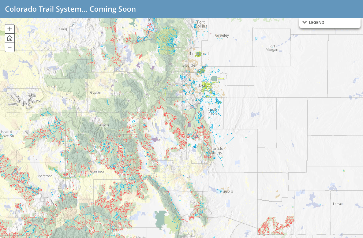
It's still pretty rough, but you can get some idea now of what the Colorado Trail System online map will look like. Parks and Wildlife released a sneak peak Wednesday.
Gov. John Hickenlooper announced his intention to make every Colorado trail, from the highest trails in Rocky Mountain National Park to the most humble special recreational district trails, available online and via phone app during his State of the State address in 2015. It's part of his Colorado the Beautiful initiative.
So far, National Park Service, National Forest and state lands trails have been added to the map. Now the state is in the process of reaching out to local land managers at the county, city and rec district level, Colorado the Beautiful project manager Chris Kehmeier said.
It's not a field exercise. The information exists in a lot of different formats that have to pulled together. People have been hunched over their computers so other people can get outside.
It's taken a year and a half to add the 15,000 miles of trials reflected in this early version. A beta version that can be tested on desktop should be ready this fall, and a complete version with a mobile app should be released spring 2017.
You can learn more about the project here.