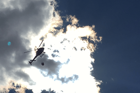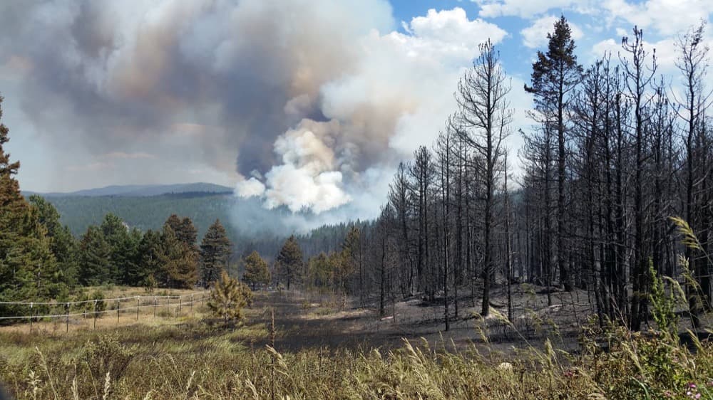
Close to 300 firefighters and a 24 aircraft are still trying today, July 11, to contain a wildfire north of the mountain town of Nederland.
The fire was at 536 acres as of 8:15 p.m. yesterday, having multiplied in size, according to the Boulder Office of Emergency Management. It had grown past 600 acres this morning, Mitchell Byars of the Boulder Daily Camera reported.
Close to 2,000 people have been evacuated already and at least three homes have been destroyed, including one belonging to a family of first responders.
Two men are accused of starting the blaze by leaving an unattended campfire. They said that they covered their fire with rocks, but not dirt, the Camera reported on Monday.
Firefighters still have not contained the fire to any degree, Boulder OEM reports.
Monday's cooler temperatures should make firefighting more comfortable, but low humidity and gusty, erratic winds may feed the blaze again today, according to OEM.
"Predictions for fire growth indicate the potential for significant structure and infrastructure loss, along with closures of two adjacent state highways," read an update last night from a federal incident management team.
Embedded below is Boulder's incident map. Zoom into the blob of activity to the southwest to see more detail of the Cold Springs Fire.
Also worrying: Fire crews have had to snuff out two "spot fires" that leapt away from the main blaze and over Boulder Canyon Drive. Both were safely extinguished.
Road closures as of Tuesday night:
- Peak to Peak/Gold Hill
- Peak to Peak/Ridge Rd
- Peak to Peak/Switzerland Rd
- Peak to Peak/CR 103
- Sugarloaf/Switzerland Rd
- Boulder Canyon/ Summer Rd
- Boulder Canyon Hurricane Hill
- Boulder Canyon/Mouth of canyon
- Hwy 72/CR 26 south
