I planned all year to hike Four Pass Loop, the absolutely legendary hike around the Maroon Bells near Aspen. I'm glad I changed my mind.
Let's talk a little about Four Pass first, and then I'll tell you about the super-sweet alternative.
The appeal of Four Pass is right in its name. "Four Pass Loop around Maroon Bells." That's poetry. It's one of Backpacker's "favorite trips ever," a classic that climbs over mountain passes in a gorgeous circuit around purple majesty.
It's also very, very busy, at least in wilderness terms. Some hikers told me that rangers actively discouraged them from starting the trail on a Wednesday early in August.
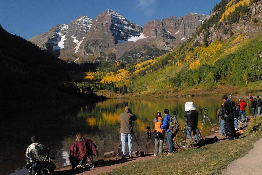
Every campsite on the 26-mile loop was full – not surprising, since the trail's season is just a couple months long. The main parking lot was full too, forcing people to take the shuttle from a nearby ski area.
"I think every outdoor magazine in America has written about this trail," one experienced hiker told me. At its worst, "the high-use areas get slammed with human waste," said Katie Martinez, who works visitor information for White River National Forest.
Lovely. Still, it was hard to say no.
There are thousands of photos of this hike on the internet, hundreds of people raving about it. They can't all be wrong, right? It's on bucket lists, people. You wouldn't want to die without doing the big thing.
The Capitol Circuit was a ridiculously great alternative. Here's how to do it.
One of my hiking buddies happened to find this second choice: the Capitol Creek Circuit. It's just a valley away from Four Pass, and even shares a brief section of trail.
More importantly, it's "longer, and better" than Four Pass, according to the guy who literally wrote the Colorado Backpacking Guide. Good enough for me.
The details:
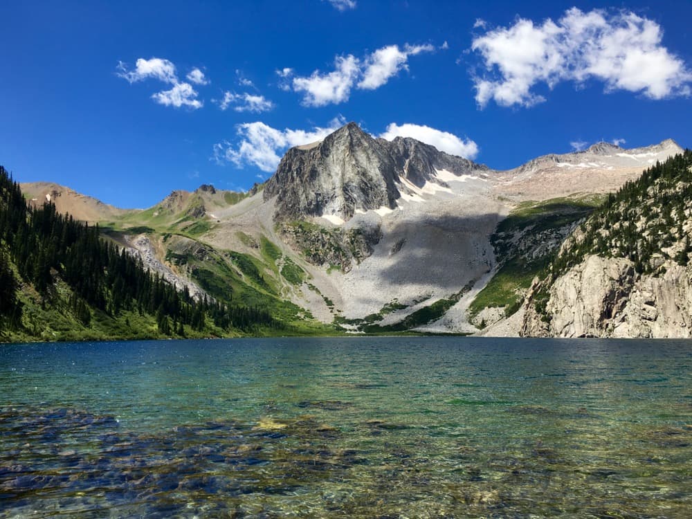
This is a 40-mile loop around Capitol Peak and Snowmass Mountain, about four hours' drive from Denver. It will take you across hours of backcountry to reach four spectacular alpine lakes.
It took us four long days with full backpacking gear, although I wish we had a fifth day as a break. (For context, we're in decent but not crazy shape. I run a few miles a couple times a week, as do my hiking buddies. They are lowlanders. I live in Denver.)
You'll need bear canisters, along with all your normal backpacking gear. I'd highly recommend rain gear and warm clothing, since storms roll around unpredictably in the afternoon. Also, buy a map and bring a compass, dummies.
Also, go soon. It's already getting nippy up there, and it's only August 18 today.
The directions:
Start at the Capitol Creek Trailhead. It's at the end of Capitol Creek Road in Snowmass, which is a rugged dirt road. My Honda Civic made it to within about a half-mile of the trailhead.
Map by Sam Szarka.
From the trailhead, hike south toward Capitol Lake, over the pass and on to Avalanche Lake. Continue from Avalanche to the Lead King Basin Jeep Trail and hike the road down for 2.2 miles to the Geneva Lake Trailhead.
Follow that trail up to Geneva Lake, and take the Geneva Lake Trail east over Trail Rider Pass and down to Snowmass Lake. From there, take the Maroon Snowmass Trail north until you meet the West Snowmass Trail. That'll take you over Haystack Mountain and put you back on the Capitol Creek Trail, which you can take north to the trailhead.
My trail notes:
Day 1: Take either the Ditch Trail or the Upper Capitol Creek trail south toward Capitol Peak. That mountain is going to get bigger and bigger as you approach. You'll climb right up into its lap, past magnificent Capitol Lake and over the pass.
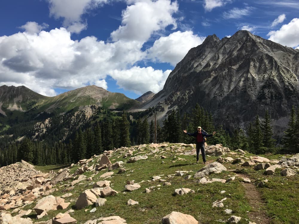
The burn got hotter and the crowds thinned as we passed Capitol. We didn't see more than two people as we wandered through the wildflower fields beyond the pass.
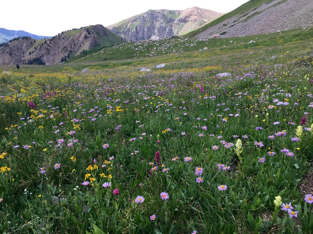
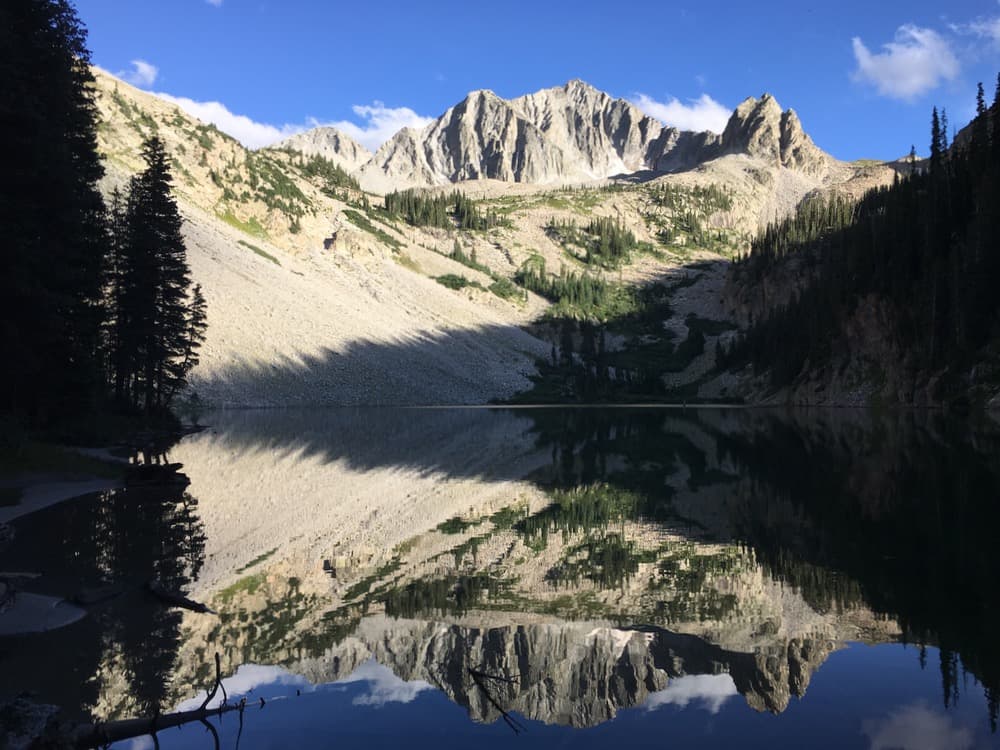
We ended at Avalanche, which is the first place I've ever seen a perfect mountain reflection. We had the place to ourselves. Also, mosquitoes.
Day 2: Brutal, brutal, brutal and beautiful.
You're going to climb out of Avalanche, over a ridge, down and around a poorly marked mountainside, up the gullet of an unmarked pass, down a dirt road, and up another big old hill to Geneva Lake. This is when I started saying "This trail is not messing around."
There's something really nice about those long uphill pushes, though. There's nothing to do but focus on walking right. For long stretches of time, my internal dialogue consisted entirely of an overenthusiastic rendition of "America the Beautiful."
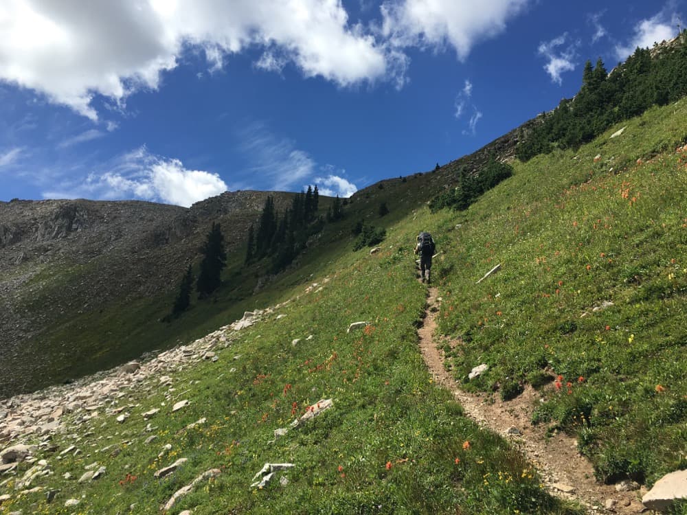
The shift between each of these valleys is really subtle and beautiful. Some of them are drowning in wildflowers, others are nothing but green grass. My favorites feel like alpine bogs – these huge, empty fields where you'll suddenly find yourself stepping into a lily-choked pond. It's weirdly cool to see how alive these places can be.
Note: It's easy to lose the trail on this second day; it gets pretty vague on the backcountry slopes. So, again, bring a map and compass, and know how to use them.
Day 3: Still brutal.
You'll climb over the pass from Geneva Lake to Snowmass Lake. Snowmass looks like this tiny little jewel when you first catch sight of it, but it somehow grows into this colossal thing as you pick your way down its walls.
Snowmass is the end of the past two day's solitude, since this is where Four Pass and the Capitol Circuit briefly intersect. We saw 15 people within an hour – not horrible, but a real contrast.
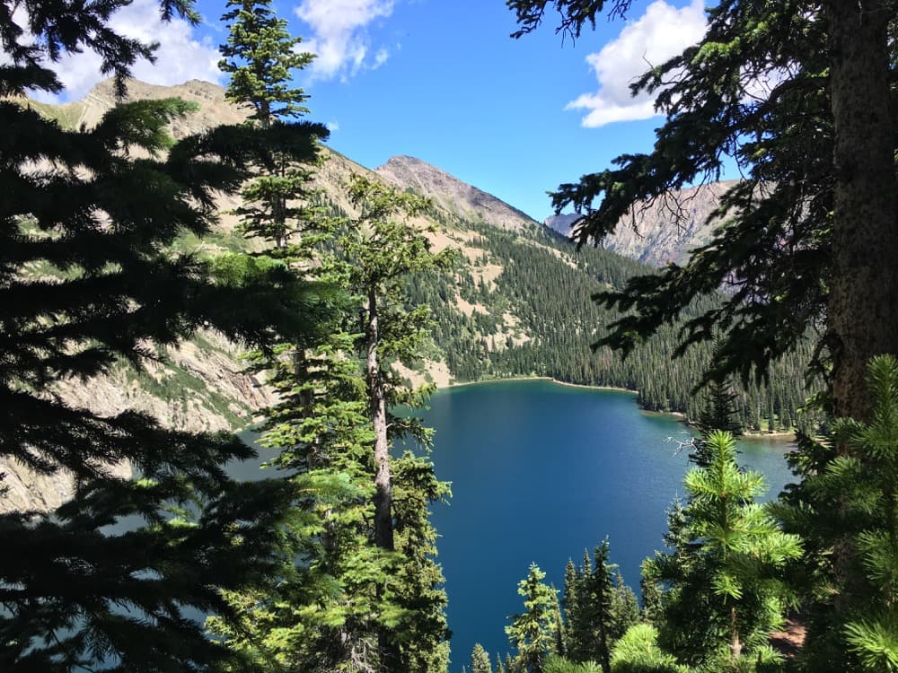
From the lake, it's a mercifully flat handful of miles north. I couldn't capture it in a photo, but the earth here turns a shade of purple. The dirt of the trail looked nearly as bright in maroon as the foliage did in green. I'll admit that catching this little preview made me want to trek deeper toward Maroon Bells.
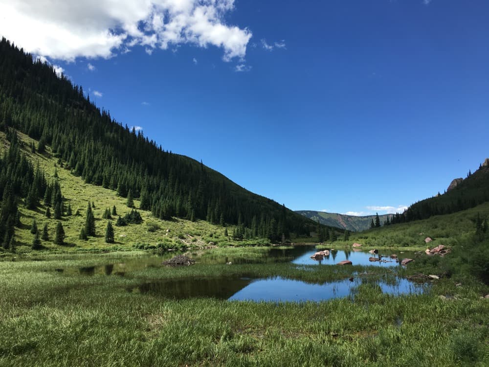
We ended our day in a mountain field just short of Haystack Mountain where, for reasons unknown, a gang of mountain cows rolled up and tried to intimidate us. I swear, these were the rowdiest cows I've ever seen. They bucked!
Day 4: This took us a relatively short six hours, including a brief summit of Haystack, which is a cooler mountain than it sounds.
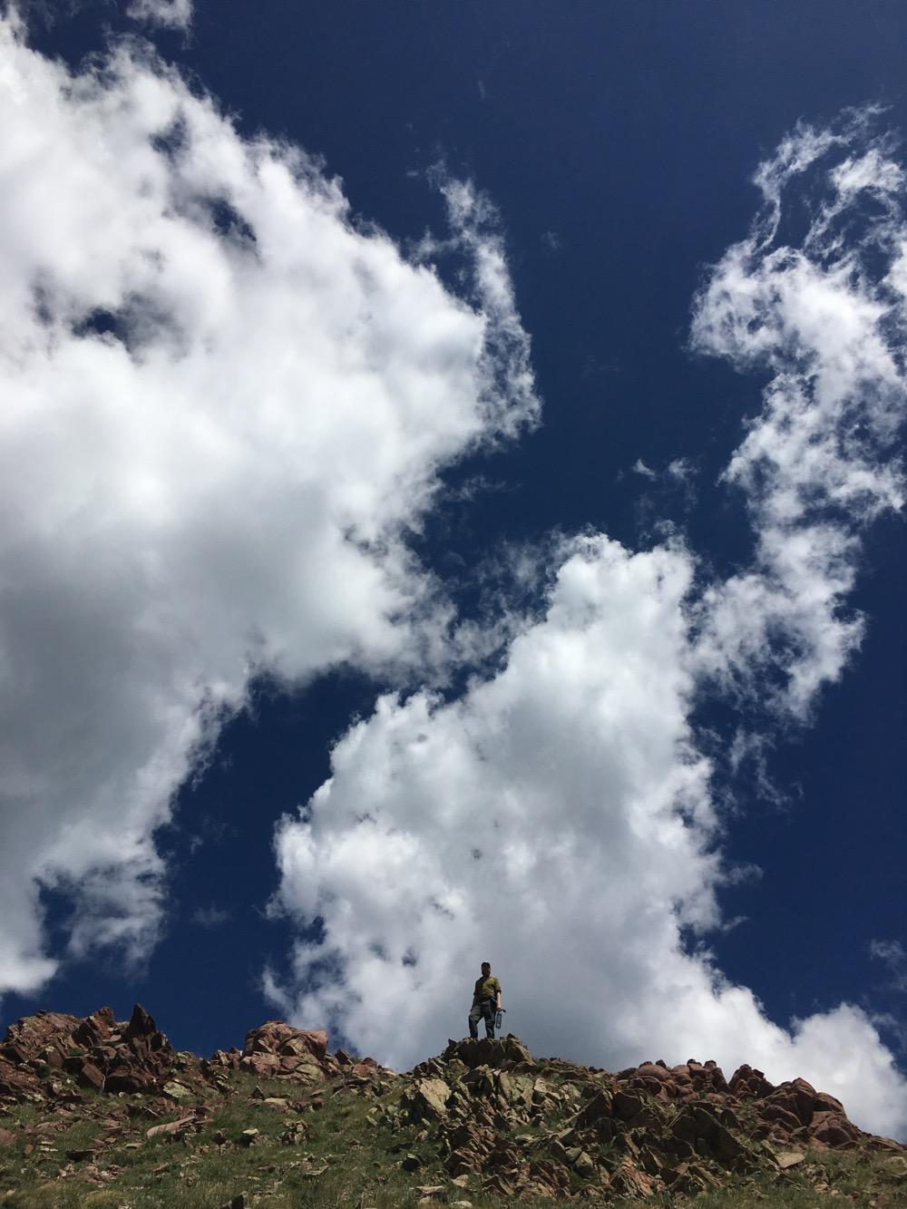
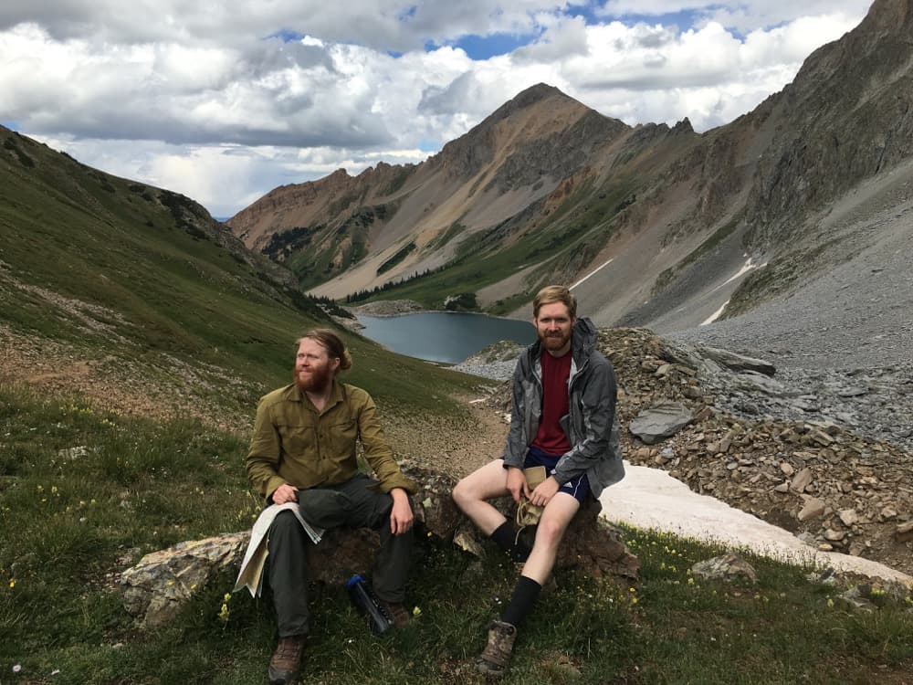
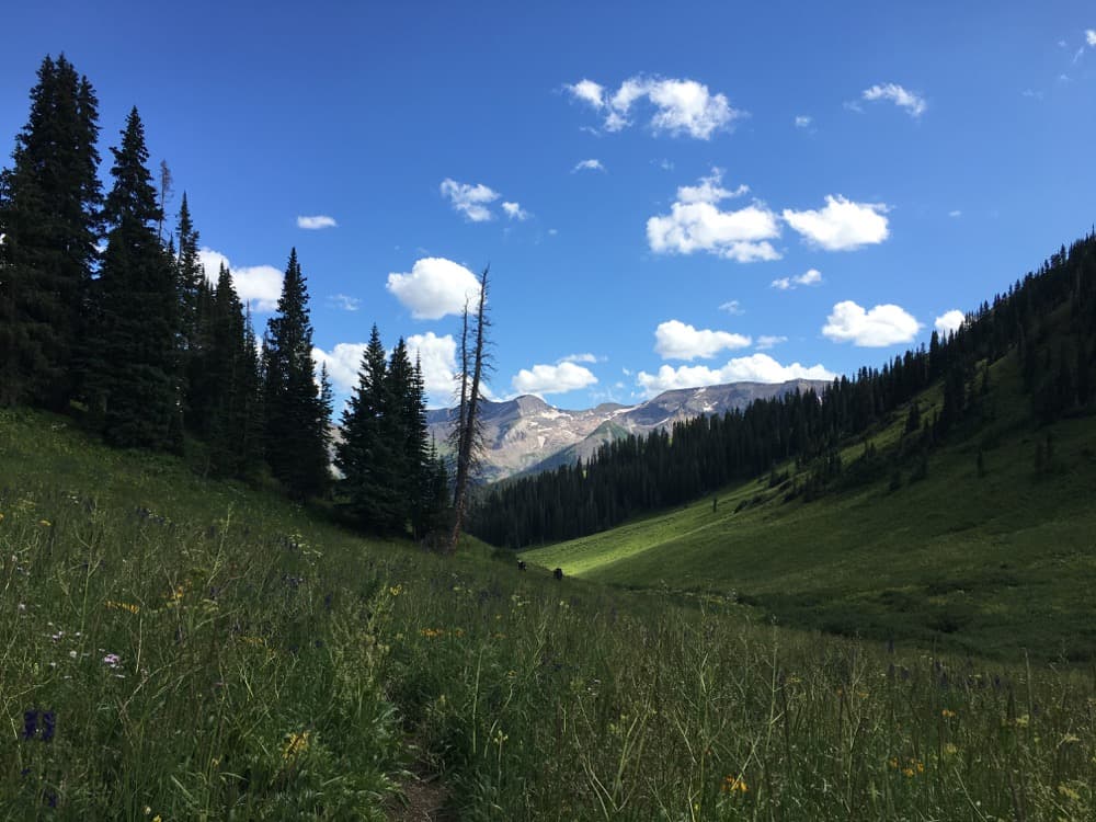
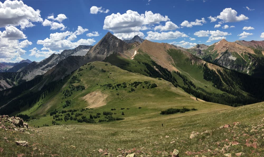
From this last photo, you can see the beginning and end of our loop. We started out on Day 1 heading away from the camera, down the valley to the right. By Day 4, we were coming around through the valley to the left. Quite satisfying.
Final thoughts
Look. You can still do Four Pass Loop. It can't be that bad.
Still, it's important to recognize that our public lands in Colorado are incredibly expansive. Some places get more attention than others, and they are indeed beautiful. But I think it's comforting to know that there are places just as wonderful waiting nearly unnoticed.
My suggestions for finding them: Call the rangers and ask about alternate trails. Buy some maps. Explore.
And if you've got questions about this loop, please do email me: [email protected].


