Denver demolished nearly 30 blocks of historic buildings downtown in the 1970s -- and it almost went much further. At one time, the city's leaders considered building a highway that would have run straight through Lower Downtown.
If the plan had been enacted, the freeway would have swept from Interstate 25 to Interstate 70, charging through Lower Downtown between Blake and Larimer streets. Some of Denver's most recognizable buildings -- including the warehouses along Wynkoop -- would have been demolished to make way for parking.
Today, the only remnant of this incredible plan is Auraria Parkway, which follows the same general path as part of the highway. This post will review maps of the would-be route and offer some expert explanations of the project's history.

This was part of a much bigger plan.
In 1967, voters approved the "Skyline Urban Renewal" project. At the time, "urban renewal" was a general euphemism for the demolition and redevelopment of impoverished urban areas that had fallen into blight and crime.
"Skyline consisted of two phases," explained Ken Schroeppel, assistant professor of urban and regional planning at CU Denver, in an interview with Denverite.
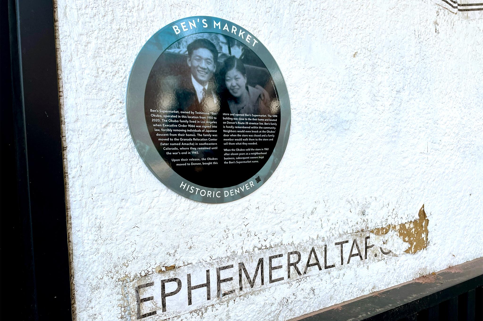
In the first phase, the Denver Urban Renewal Authority cleared out rows of building from Larimer to Curtis streets, hoping to replace them with shiny new offices. Only a grassroots resistance movement saved a few historic buildings from the wrecking balls.
In the second phase, planners envisioned a network of new highways that would connect Denver with loops and spokes.

One highway would have run alongside Santa Fe Drive, but it was the Skyline plan that is perhaps the most notorious today. "It would have torn down all of Lower Downtown," Schroeppel said.
Skyline would have started at Morrison Road, cut northeast through residential communities, crossed Interstate 25 and downtown and run out along Lawrence and Larimer streets to Interstate 70.
A model of the project showed lane upon lane of freeway buried below grade, crossed over by the numbered streets of the downtown grid.
The new chasm would have left Union Station stranded on an urban island, hemmed in by the freeway on one side and the railyards on the other. Other iterations of the plan may have run the highway beneath buildings, as shown in illustrations.
Either way, it never happened, for reasons that are not well remembered today. Schroeppel theorizes that the first wave of "urban renewal" mobilized enough resistance to kill the plan. The nonprofit Historic Denver was formed to help save buildings like those found in Larimer Square, and that new political power may have slowed down politicians' destructive ambitions.
John Olson of Historic Denver suspects that the plan also suffered from the loss of one of its major supporters.
"Mayor Tom Currigan was its champion," Olson wrote in an email. He left office in 1968, just after he was re-elected and voters approved the Skyline plan. The mayoral salary was too low, so Currigan went to go work for Continental Airlines, according to Olson.
"With his absence, the plan did not move forward," Olson wrote. "A disastrous plan to the cohesiveness of downtown, it was good it did not go forward, but damage to the core of downtown through demolitions in anticipation of the freeway has taken decades to heal," he concluded.

How did Denver get so close to doing this, anyway?
"This is at the peak of modernism, the peak of the automobile expansion," Schroeppel said.
The planners were spurred on by the incredible growth in automobile sales after World War II. The suburbs were growing quickly, and the new auto-centric philosophy said that highways were the way to get people across the city. It was a change as momentous as the arrival of the smartphone later would be, Schroeppel said, and planners were willing to make big, destructive changes to keep pace.
There also was a belief that it was now possible to find a "cold, objective, rational" solution that would maximize efficiency, Schroeppel said.
"If the numbers tell us that we should put a road from Point A to Point B through this neighborhood because that will maximize traffic flow at a regional scale, then that’s what we will do," he said.
Of course, this "rational" solution often resulted in the destruction of poor and minority communities, as Interstate 70 did in northeastern Denver. And it failed to account for the way that the construction of the highways would change the city.
"It completely ignores the fact that the whole reason why people would want to go to a place via car in the first place is because there’s something there of value to go to," Schroeppel said of the new philosophy.
"If you tear down the things that people would want to go to, then what’s the point?"
For more:
The composite maps in this post were compiled by u/Jadebenn, a Reddit user who kindly allowed us to republish them. To see them in higher resolution, visit his Imgur post.
"It's shocking to think that whole area could have never existed," said the college freshman, who declined to give his real name for fear of being identified online.
We previously covered the Skyline project in greater depth, and we told the story of how the historic Cable building was saved from demolition.
If you know more details of this project, email me.
Updated with comment from John Olson.


