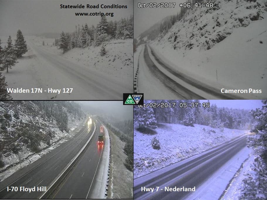
Much of Colorado's mountains are under a winter storm warning or advisory throughout Monday. Up to 8 inches of snow are possible in the higher elevations today, bringing the totals to as high as 18 inches on some mountains north of Interstate 70.
The storm caused chaos on Sunday, including the temporary closure of I-70's westbound and eastbound lanes at different points on the mountain corridor. U.S. 40 was closed at Rabbit Ears Pass near Steamboat Springs this morning.
The snow is expected to fall at elevations as low as 7,500 feet, bringing it close to Denver -- but not quite, this time. We'll get rain instead.
This is the first significant snowfall of the season for Colorado, according to the National Weather Service. Another storm could arrive within a week.
Overall climate predictions for Colorado's winter are pretty much neutral, even with La Niña, although NWS forecasts that it might be a little warmer than usual. The winter is already coming on stronger than last year, when the mountains stayed abnormally dry into November.
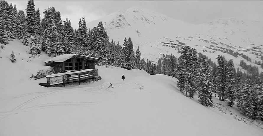
And now I would like to look at pictures of snow, and you're invited to come along.


