Here in Denver, a relatively mild island in a metro area of wild weather, it's hard to know what to believe about the weather.
Sometimes we cry "blizzard" only to receive a dusting of snow even as our neighbors in all directions get buried. You can be forgiven some skepticism.
But here's the thing, there comes a point in the story when the Boy Who Cried Wolf actually gets attacked by a wolf. So let's take this blizzard warning seriously.
It does sound serious. Something about a bomb cyclone.
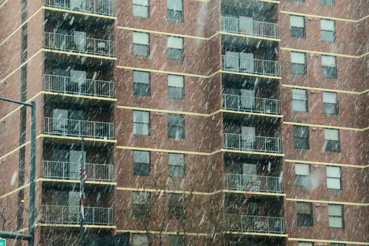
As of right now (2:30 p.m. Tuesday), the National Weather Service says its confidence level in blizzard conditions across the plains is high. A blizzard warning has been issued for Colorado's northeast plans -- including Denver -- from 10 a.m. through midnight Wednesday.
Three to 8 inches of snowfall are predicted for the urban corridor, and 6 to 12 inches are predicted for the plains. Winds are expected to gust up to 4o to 50 mph in the urban corridor, and 60 to 70 mph in the plains. The condensed version of the snow forecast from NWS Boulder says this: rain/snow and windy then heavy snow and patchy blowing snow.
Wind damage is likely and power outages are possible. There will likely be whiteout conditions and snow- and ice-packed roads with snowdrifts, and it's being strongly recommended that you do not travel.
Our friends at Colorado Public Radio asked meteorologist Kari Bowen what's going on:
"Usually in meteorological terms, we call it a bomb cyclone or bombogenesis when we see such rapid lowering of pressure," she said. "You can see this typically with cyclones or other hurricane type events. It's just a rapid intensification of this system."
Technically speaking, what's happening is a pressure drop of about 23 millibars in 24 hours. Head over to CPR for more on that, or to isitabombcyclone.com, which the CPR team created to tell you, you know, whether or not we're actually experiencing a bomb cyclone.
And in summary, prepare to be stuck inside and possibly without power for some time.
What's the actual definition of a blizzard, anyway?
In order to officially call a storm a blizzard, these conditions need to be met for three hours or longer:
- Sustained wind or frequent gusts to 35 mph or greater
- Considerable falling and/or blowing snow (reducing visibility frequently to less than a quarter of a mile)
This should all be over by Thursday.
Right now the forecast calls for clouds and a high around 35. It'll still be kind of windy, probably, with gusts up to 24 mph.
If you're wondering when your street will get plowed, please consult this Denverite story. The short version is this:
And if you're wondering when your sidewalk will get shoveled, consider this your friendly reminder that if you own your property, you're required to shovel your sidewalk. The law says it needs to be done within 24 hours of the storm. You're unlikely to get ticketed, but your neighbors -- particularly those who use wheelchairs -- will be grateful.
The USPS Colorado/Wyoming District has made a plea for everyone to keep things clear earlier, if possible. "The Postal Service is asking residents to remember their letter carriers, who are out in full force," a press release says.
You're also responsible for clearing fallen tree debris in and pruning any dangerous branch situations. According to Denver Parks & Recreation, the city will take care of it if emergency removal of a fallen tree or tree branch is needed immediately to clear a street, and the property owner will be billed. (More on that below.)
Finally, a reminder about downed power lines: don't go near them. If you see one, report it immediately to Xcel Energy at 1-800-895-1999. If the power line is touching an object, don't go near that object, either. Call 911.
For now, here are some resources.
The NWS Boulder office is good about tweeting updates. You can follow them at @NWSBoulder. You can also go look at their website, though it can be less than intuitive to navigate.
Here's Xcel Energy's power outage map.
Updates on RTD service are reliably shared on their Twitter feed, @RideRTD. Rider alerts are also posted on their website.
Flights were already getting canceled Tuesday afternoon. To check in on DIA and flights, look to the DIA Twitter feed, the FAA and this helpful website called flightstats.com.
You can follow CDOT on Twitter for updates from them. In other corners of the internet, they're providing road conditions, travel alerts, a snowplow map and a snowplow limited coverage map. (The latter is just delightful to look at.)
Parks & Rec has storm and tree damage resources here.

