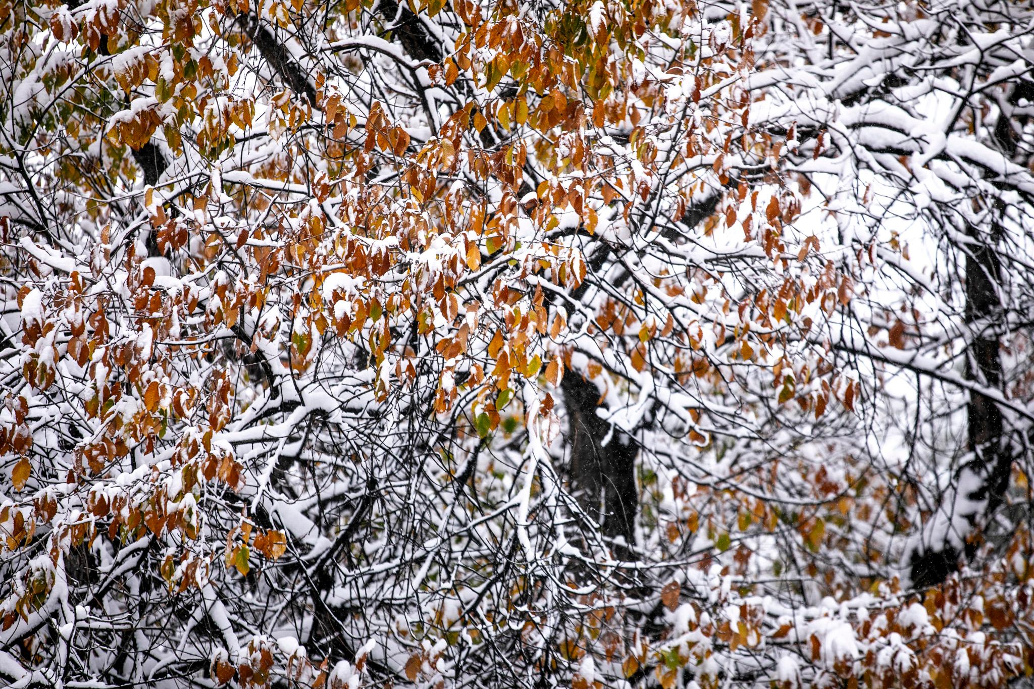
After a snowy Election Day left several inches of snow, Denver and other parts of Colorado could still see more precipitation this week.
Snow was continuing in the area Wednesday, with the potential of a couple more inches around the metro for the day.
Road conditions were expected to “slowly improve through the day,” per the National Weather Service. But the Wednesday evening commute could get slippery as roads refreeze after sunset.
The Denver metro will get "a little bit more accumulation tonight, but it really should be over by midnight tonight," said NWS Boulder meteorologist Ayesha Wilkinson in an interview on Wednesday.
Snowfall could resume in the area on Thursday afternoon, adding another inch or two of snow. On Friday, warmer weather could bring a mix of rain and then additional snow.
"We're still coming up with snowfall totals, but additional snowfall is definitely possible starting that Friday evening," Wilkinson said.
Denver, the western suburbs and Boulder are on a winter weather advisory until 11 p.m. Wednesday. Parts of the Eastern Plains were under a more serious winter storm warning. Both statuses could be extended with the coming weather.
More snow coming?
The weather has had a heavier impact in eastern Colorado. On Wednesday afternoon, Interstate 70 was closed between Limon and Burlington in eastern Colorado.
And in the coming days, the Eastern Plains are expected to get more snow than Denver.
An NWS forecast released on Wednesday morning predicted 4 to 6 inches for Denver through mid-Friday, and potentially higher totals along Interstate 70 to the east, as well as in the southern metro toward Castle Rock. The early forecast warned of totals as high as 18 inches in Burlington, near the eastern border of the state.
“It could be nothing or a significant storm,” NWS warned in a forecast. “Increasing potential for heavy snow but we’re not sure exactly where the storm is going.”
The southern reaches of Colorado could also see high snow totals, ranging up to 24 inches around Trinidad through mid-Friday.

Denver’s first snow of the season:
This week’s storm cycle brought the city’s first official snowfall of the season, measuring 4 inches at the airport as of 5 a.m. Wednesday, per Chris Bianchi of 9News. As of Wednesday afternoon, snow totals reported to the NWS ranged from roughly 3 to 10 inches for Denver and its suburbs.
"It's finally time, right?" Wilkinson said. "I guess it took a long time, but we finally got something."
Meanwhile, parts of the mountains have seen substantial snow this week, including the Interstate 70 mountain corridor.
According to data collected by the (excellent!) forecasting service OpenSnow, ski resorts across the state have seen totals ranging from 13 to 20 inches or more. Arapahoe Basin, Keystone Resort and Wolf Creek Ski Area are already open for the year.
Other openings are scheduled soon:
- Eldora Mountain Resort will open Thursday, Nov. 7, which is more than a week ahead of schedule.
- Winter Park Resort and Copper Mountain will open this Friday, Nov. 8.
The snowpack situation in the mountains has improved, with the Colorado Headwaters basin running at 130 percent of median for this time of year, the Arkansas basin at 158 percent, and southwestern Colorado running at double or triple the median.
Keep in mind, those numbers are quite variable when it's so early in the season.


