Several busy commercial corridors in southeast Denver have been rezoned to encourage more pedestrian-friendly development with a Denver City Council vote Monday.
The “proactive rezoning,” which was initiated by the city, will change the development rules for about 1,100 acres of property in the neighborhoods of Indian Creek, University Hills North, Goldsmith, Virginia Village and Washington Virginia Vale.
The change will bring the properties into the city’s new zoning code, with a goal of encouraging denser, mixed-use construction along major roads.
“The rezoning proposal will allow for future development in the centers and corridors that is more welcoming and pedestrian-friendly by requiring buildings to be closer to the street with parking in the rear,” said Fran Peñafiel, a principal city planner.
What kind of buildings will be targeted by the new zoning?
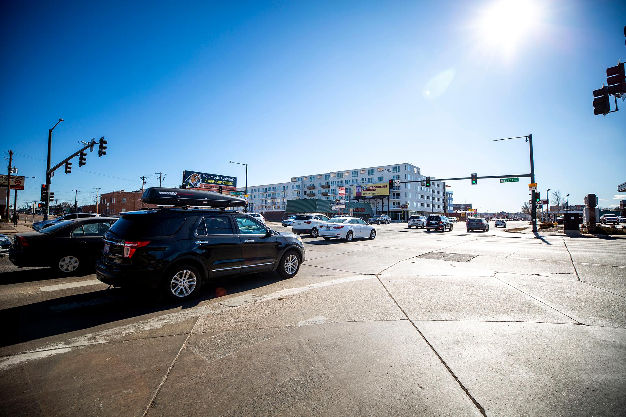
The changes are focused on corridors like Leetsdale Drive, Colorado Boulevard and Evans Avenue.
The new zoning will discourage the construction of traditional strip malls. It generally requires parking lots and drive-throughs to be placed behind buildings. With the change, more new buildings may be placed along the street, making them more accessible to pedestrians.
The zoning rule changes only affect future development, and would not require changes to current buildings.
Much of the property was rezoned into the city’s Suburban Mixed Use, or S-MX, zoning, which allows a range of heights. The city also set an Urban Center designation, allowing development up to five floors, near the East Evans Avenue rail station.
The rezoning has been years in the making.
Areas targeted by the legislative rezoning were highlighted in the Near Southeast Area Plan, a city-led vision approved in 2023.
The plan also highlighted a need to bring property into Denver’s current zoning code instead of Former Chapter 59, the previous zoning code that the city now views as outdated, inflexible and difficult to administer.
Previously, many properties included in the proposal were zoned for a wide range of uses, including residential, commercial and industrial. Under the new zoning, future developers are being told to focus on denser streetside development.
The city received only a handful of comments on the proposed rezoning.
For more information, review the maps and staff reports published by the city.
Denver is planning new futures for its neighborhoods.
The Near Southeast Area Plan, which inspired the changes, is one of six neighborhood plans completed by the city in recent years.
The Neighborhood Planning Initiative, launched in 2017, aims to create comprehensive plans that city planners can use as guardrails for zoning decisions and construction of amenities.
The six published plans make up about a third of the city. Another three are currently in the works, with the city aiming to release drafts of them in late February before working to finalize them by November.
Once the three in progress are finalized, the city will need to finish plans for another 10 areas, which is expected to take five or six more years to complete.


