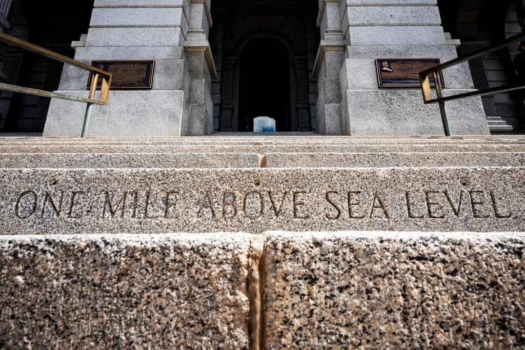
As you ascend the granite steps of the Colorado State Capitol, you’ll find several reminders that Denver is the Mile High City.
The building’s western entrance is studded with two brass plates and an engraving — “ONE MILE ABOVE SEA LEVEL” — each claiming to mark the city’s favorite altitude.
The special steps reflect measurements made in 1909, 1969 and 2003 — at the 15th step, 18th step and 13th step, respectively.
Well, maybe the fourth time’s the charm: This summer, officials plan to add yet another marker to the steps.
It’s not just perfectionism — it’s part of a sprawling national effort to define what, exactly, is where.
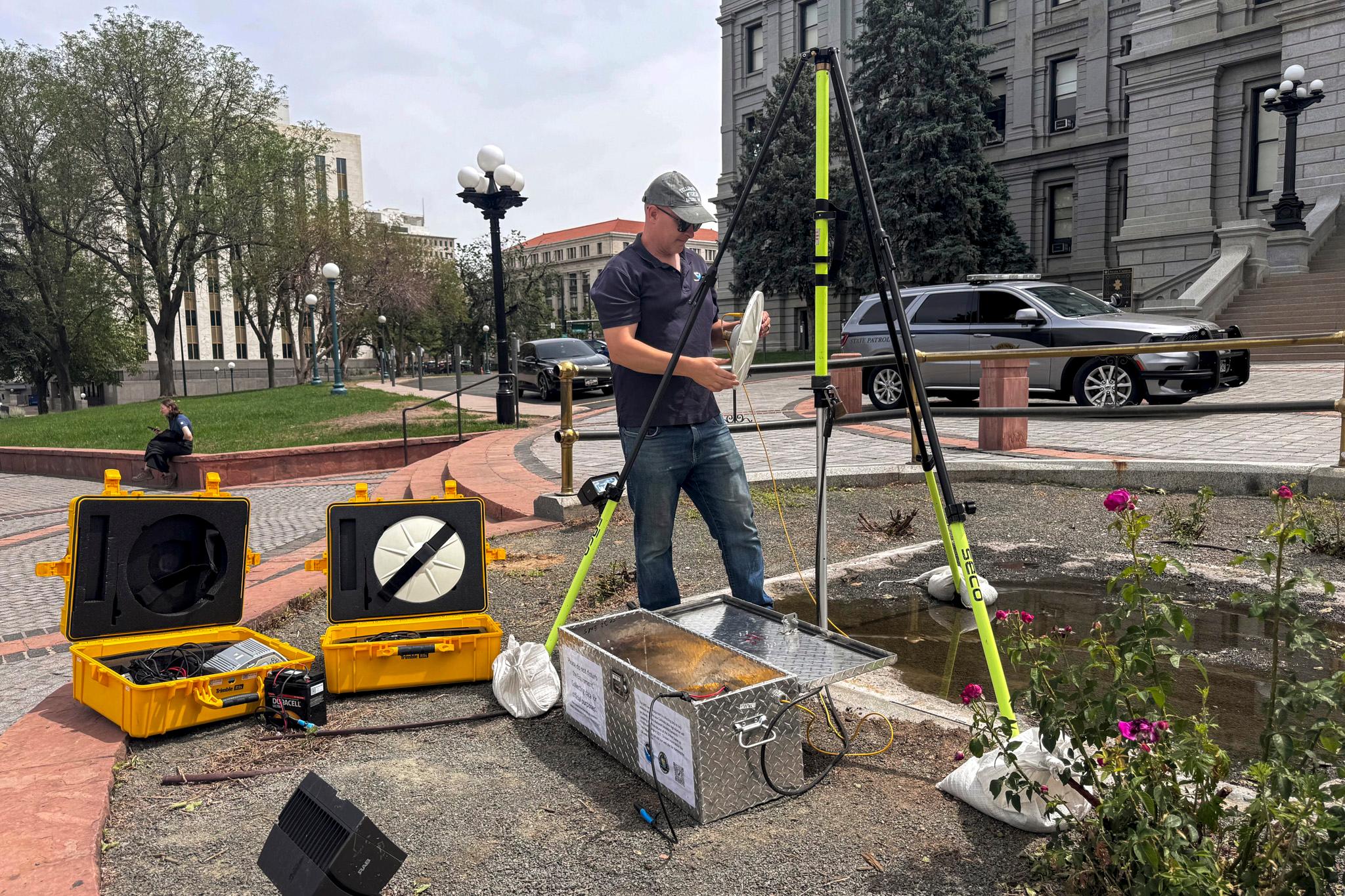
Researchers at the National Oceanic and Atmospheric Administration have been working for 18 years to determine more accurate measurements of spatial positioning through the National Geodetic Survey.
The precise height of a vertical mile is just one of the many measurements, or datums, that will be updated. Datums are important points of reference for systems that rely on accurate spatial positioning, like GPS.
“Everybody uses Google Maps to navigate and all of these things rely on having these datums,” said Brian Shaw, regional advisor for the NGS. Shaw is leading the new mile marker height-finding project.
“These datums are fundamental to all spatial information and changing these datums is fundamentally why the mile high mark will need to move,” he said.
A 'more right' marker
The previous mile markers are not technically wrong, though. The new marker will just be more right, Shaw explained.
“The two brass discs and the engraving are actually correct,” he said. “They're just relative to different datums. They were all correctly set a mile high above the current datum when they were set, so we are just adding a new one because there's a new height system coming.”
In other words, the three existing markers are indeed a mile above sea level — at least, how sea level was previously defined.
The latest survey data reflects physical changes, like rising sea levels, as well as advancements in measuring technology.
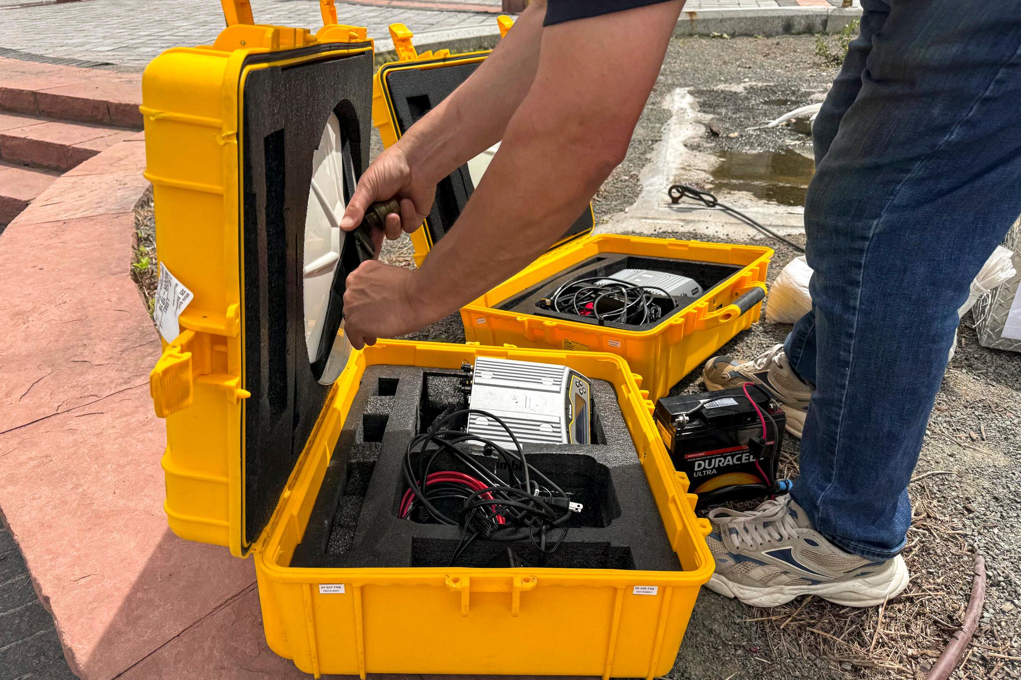
With the new data, Shaw said he can determine a new vertical mile height that’s accurate to the centimeter. Past measurements have had wiggle room of about a meter or more.
“The Earth is an infinitely complex system and our ability to measure and monitor it has just continued to evolve,” Shaw said.
It’s not clear which step will host the new marker. Shaw’s goal is to establish the location before Colorado Day on Aug. 1, in time for the state’s 150th birthday.
Such great heights
The Capitol steps aren’t the only mile-high landmark in the city.
You can also find markers in the mayor’s office, City Park, the Denver Museum of Nature and Science, along the High Line Canal, and at Coors Field, where the special altitude is marked by a row of purple seats. We’ll have to see if the Monforts want to move those, too.
Meanwhile, new measurements have also threatened change at Colorado’s other favorite altitude: 14,000 feet — the magic number that separates the state’s 14ers from plain old mountains.
In 2024, data from an NGS report raised the possibility that Sunshine Peak could be downgraded. That didn’t happen — in fact, Sunshine was promoted above Huron Peak, becoming the state’s second-shortest 14er.