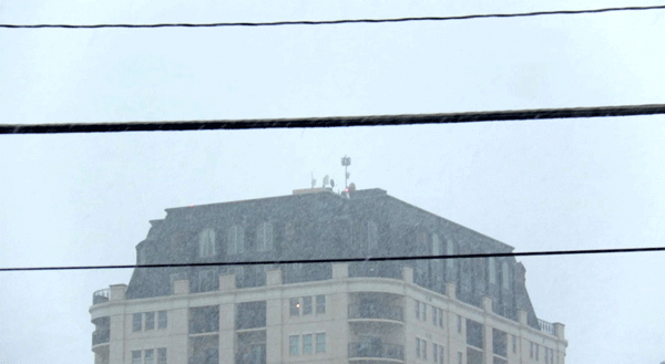
A very-late spring storm dumped a round of snow on Denver and the mountains early on Thursday, followed by hours of rain at lower elevations. A winter storm warning is in effect for Denver until 3 p.m. Friday.
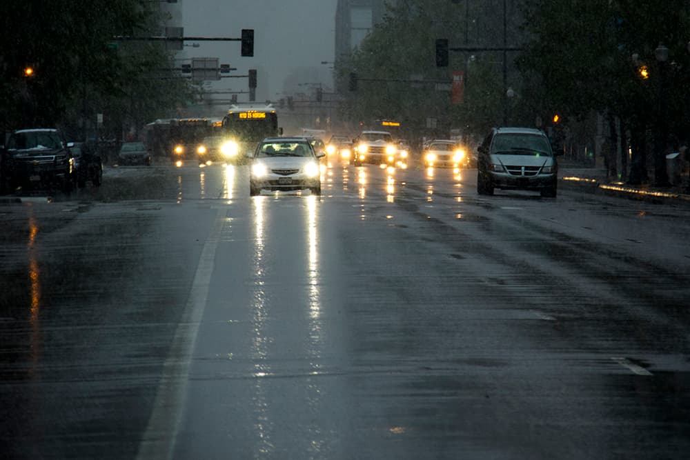
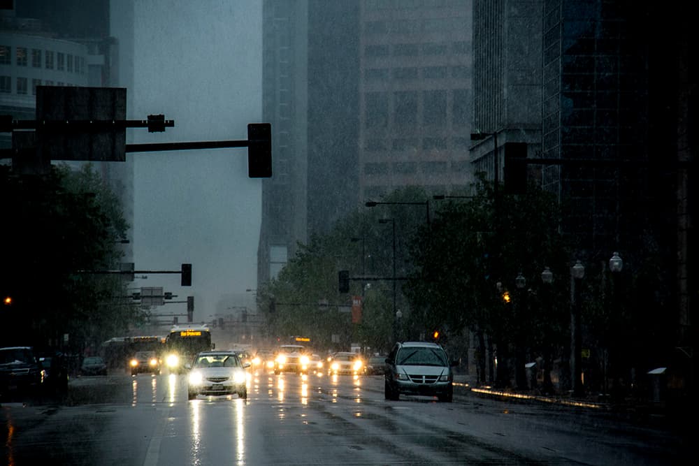
Heavy flakes have been falling across the metro region, including Denver proper, but the storm also has delivered consistent rain and put water on roads in Denver. "Minor flooding" is possible on the South Platte .
In Denver, the expectation is that the snow would become entirely rain after 11 a.m., according to the National Weather Service. That rain may be heavy enough to cause flooding in low-lying areas. (Do not drive through high water.)
Snow is expected to return again later in the day. By Friday morning, we could see accumulation of 2 to 6 inches around Denver and up to several feet in the mountains.
Significant accumulation has been reported already in Conifer and other mountain communities on Thursday morning, with up to 18 inches reported.
Expect heavy, wet snow to break tree limbs as it accumulates throughout the day, potentially causing power outages. Snow may continue into Friday morning.
The mountains may be particularly hard hit, with early photos out of Conifer and other higher-elevation areas showing significant accumulation.
Travel was seriously impaired in the mountains early on Thursday. Interstate 70 westbound was closed at Georgetown and Empire as of 8 a.m., according to Colorado DOT.
About 4,000 people were without power in Boulder, the site of most of the power outages currently reported by Xcel, as of 8:15 a.m.