Warm weather arrived very early in 2017 and it stuck around later than any year on record, according to the National Weather Service.
The city's first 80-degree day arrived on Feb. 10, a full month earlier than the record previously set in 2015. Its last 80-degree day was on Nov. 27, more than a month after the record set in 2006.
It was the longest-ever gap between the earliest and latest 80-degree marks, a total of 289 days. The previous record was 215 days.
Overall, the city saw warm temperatures and relatively little precipitation. The monsoon months of June and July brought less than 20 percent of their normal precipitation. For the year as a whole, precipitation was 20 percent below normal.
The city tied its record for its least snowfall ever for March, and tied for its second least snow ever for November, which also delivered the hottest November day ever recorded here.
A study published by the city last year predicted that Denver could see a full month of 100-degree days by 2080. The impact may be worst in western and northern Denver.
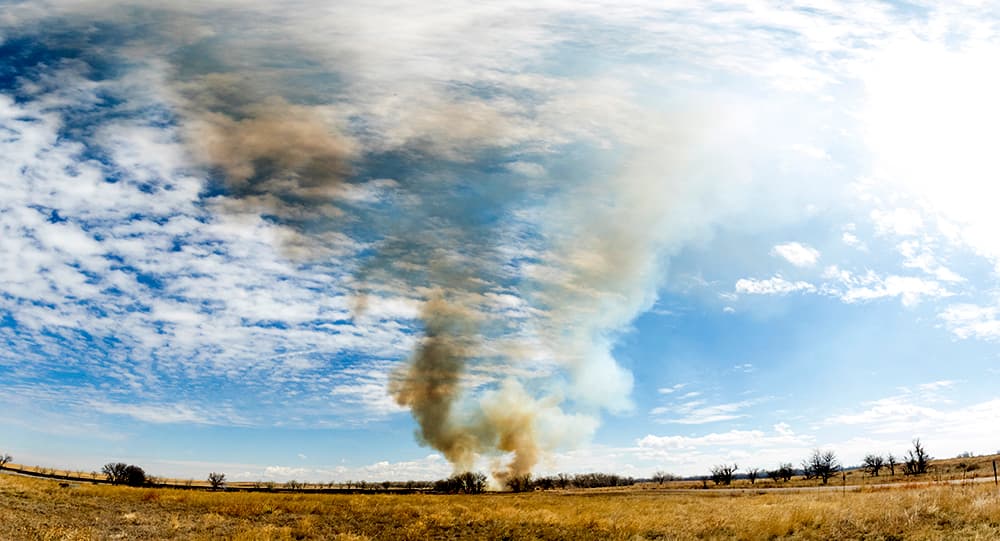
Firefighters, meanwhile, say that wildfire season is getting longer and longer.
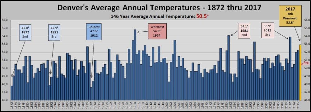
The chart above doesn't make it too easy to pick out the trend.
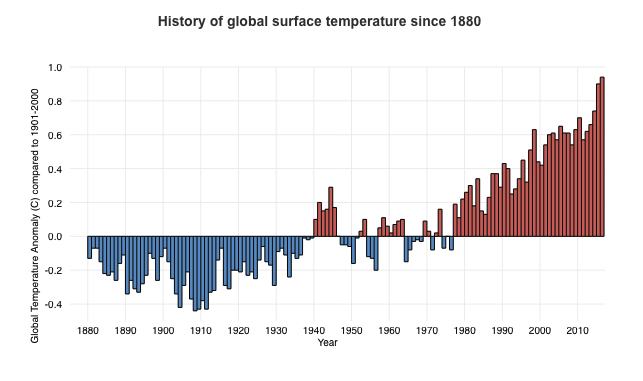
The chart below demonstrates the global trend: Temperatures have been consistently warming since the 1970s. The reason the chart below is more dramatic is that it is showing the growing difference between each year and the average. It does not simply show the temperatures.
