Severe storms could bring more flooding, hail to Denver metro on Wednesday

The area east of Interstate 25 could see the heaviest storms.

A man crosses Andrews Drive as a massive rainstorm causes flooding in Montbello, July 23, 2018. (Kevin J. Beaty/Denverite)

A man crosses Andrews Drive as a massive rainstorm causes flooding in Montbello, July 23, 2018. (Kevin J. Beaty/Denverite)

(Kevin J. Beaty/Denverite)

staff photo

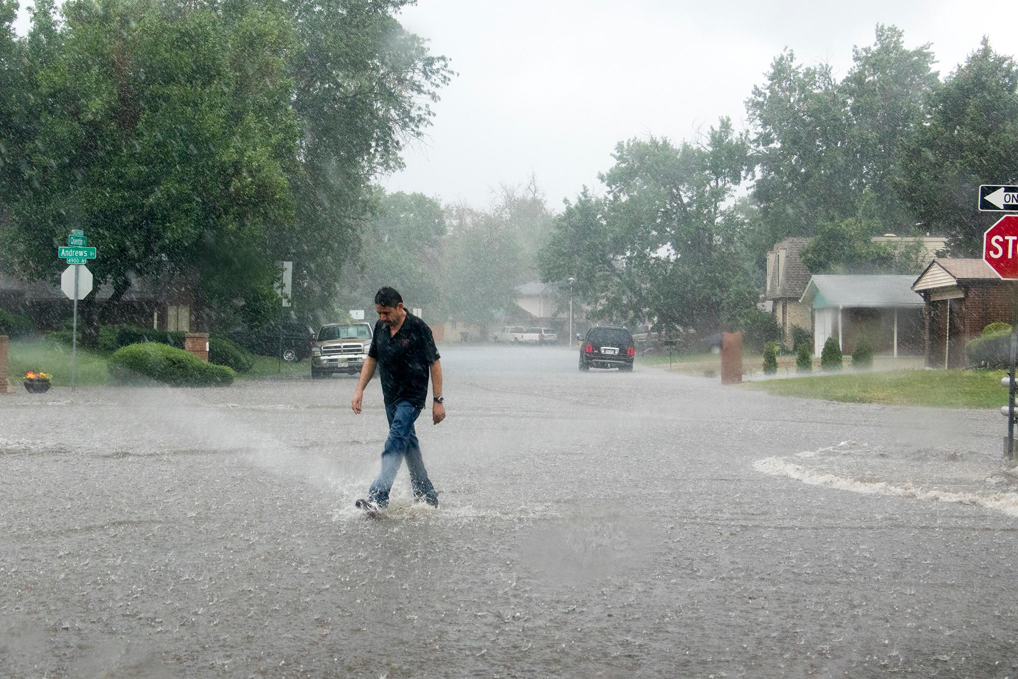
Thunder, lightning and flooding could return to Denver on Wednesday, including a chance of severe storms and heavy rain.

Much of the weather is expected between 2 p.m. and 10 p.m., according to the National Weather Service. The storms will develop over the mountains with “plentiful moisture,” NWS predicts.

The storms could produce up to 2 inches per hour, enough to create flash flooding in urban areas and in burned areas of the mountains.

At times, hail could grow to 1.5 inches in diameter. The “main threat” will be east of Interstate 25, according to NWS.

Thunderstorms could continue through the weekend, fueled by “abundant” amounts of moisture over northern and eastern Colorado, according to NWS. However, strong winds are expected to keep those later storms moving and minimize flooding.

The high today is 87 degrees, and high temperatures are expected to stay in the 80s until Saturday.

Weird times

Denverite is powered by you. In these weird times, the local vigilance, the local context, the local flavor — it’s powered through your donations. If you’d miss Denverite if it disappeared tomorrow, donate today.

You’re our superpower

Denverite supporters have made the decision to financially support local journalism that matters to you. Ready to tell your networks why? Sharing our “About” page with your own personal comments could really help us out.

You’re our superpower

Denverite members have made the decision to financially support local journalism that matters to you. Ready to tell your networks why? Sharing our “About” page with your own personal comments could really help us out.