Updated at 8:00 p.m.
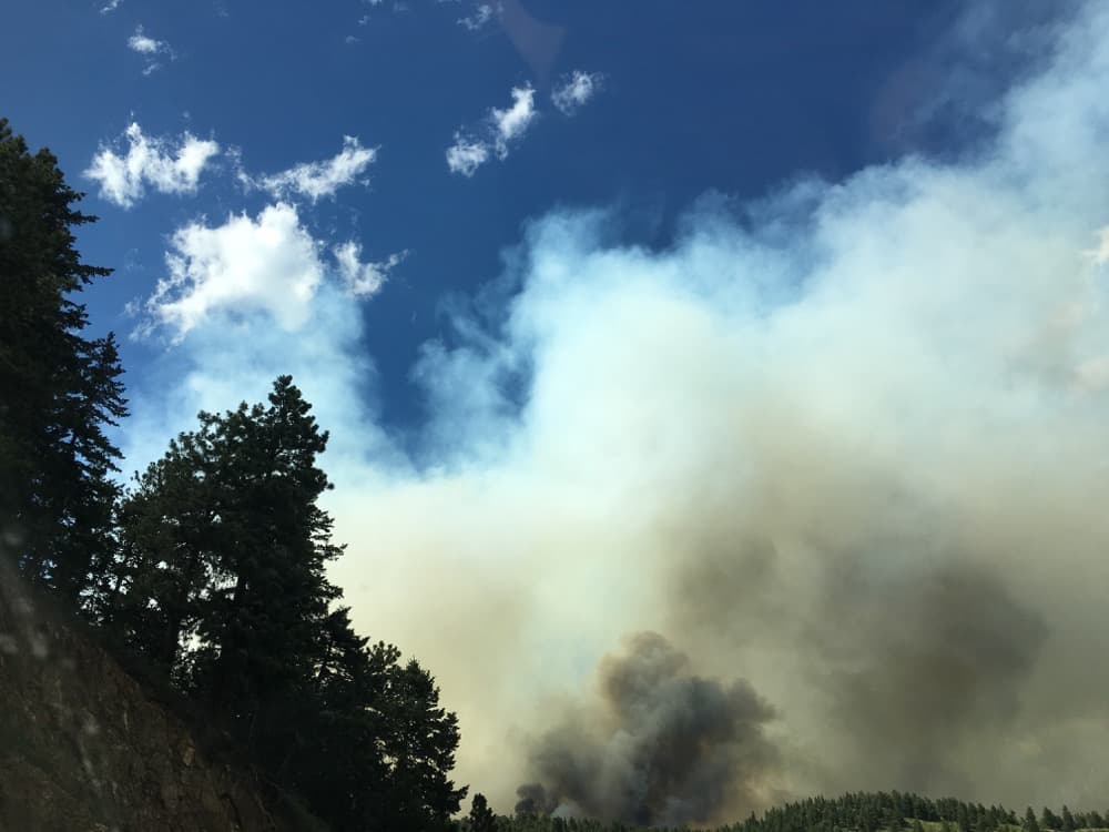
The wildfire just north of Nederland continues to threaten homes and structures on Sunday. Boulder Canyon, the main route from Boulder to the town, was expected to close due to concerns about emergency aircraft operating overhead.
The fire has more than doubled in size today, covering close to 600 acres and forcing the evacuation of nearly 2,000 people, the Boulder Office of Emergency Management reported. (Updates are available at the OEM's website.)
Hot, windy conditions only made the threat worse on Sunday, and authorities deployed a dozen firefighting aircraft and more than 200 firefighters in response.
"These are fire conditions that we don’t often get at this elevation, said Mike Smith, an incident commander for Boulder Fire Rescue. "Today’s going to be a critical stepping point to see if we can hang on to this thing."
Three homes had been destroyed as of 1:30 p.m. About thirty others are within the fire perimeter, but none were in immediate danger, according to Boulder OEM.
One of the homes that was destroyed belonged to a firefighter, who is responding to the blaze, according to KDVR reporter Dan Grossman.
Several aircraft dropped a red flame-retardant substance on the fire, while helicopter crews collected and dumped water from Barker Reservoir.
Boulder County now has banned all open fires and fireworks in unincorporated parts of the county.
The 2016 Boulder Peak Triathlon was cancelled as emergency resources were shifted to the fire.
These are the road closures as of 8:30 a.m. Sunday:
- Hurricane Hill – between Hwy 119 and Ridge Rd.
- St. Anton Summer Access Road – between Hwy 119 and Ridge Rd
- Sugarloaf Rd – between Switzerland Trail and Peak to Peak Hwy
- Peak to Peak Hwy between Sugarloaf and Ridge Road
- Silver Point to Peak to Peak Highway
- Cold Springs Road – between Hwy 119 and Ridge Rd.
- Ridge Road
- Conifer Road
- Thunder Ridge South Road
- Cougar Road
- Shady Hollow Road
- Switzerland Park Upham Gulch
- Wolfetongue


