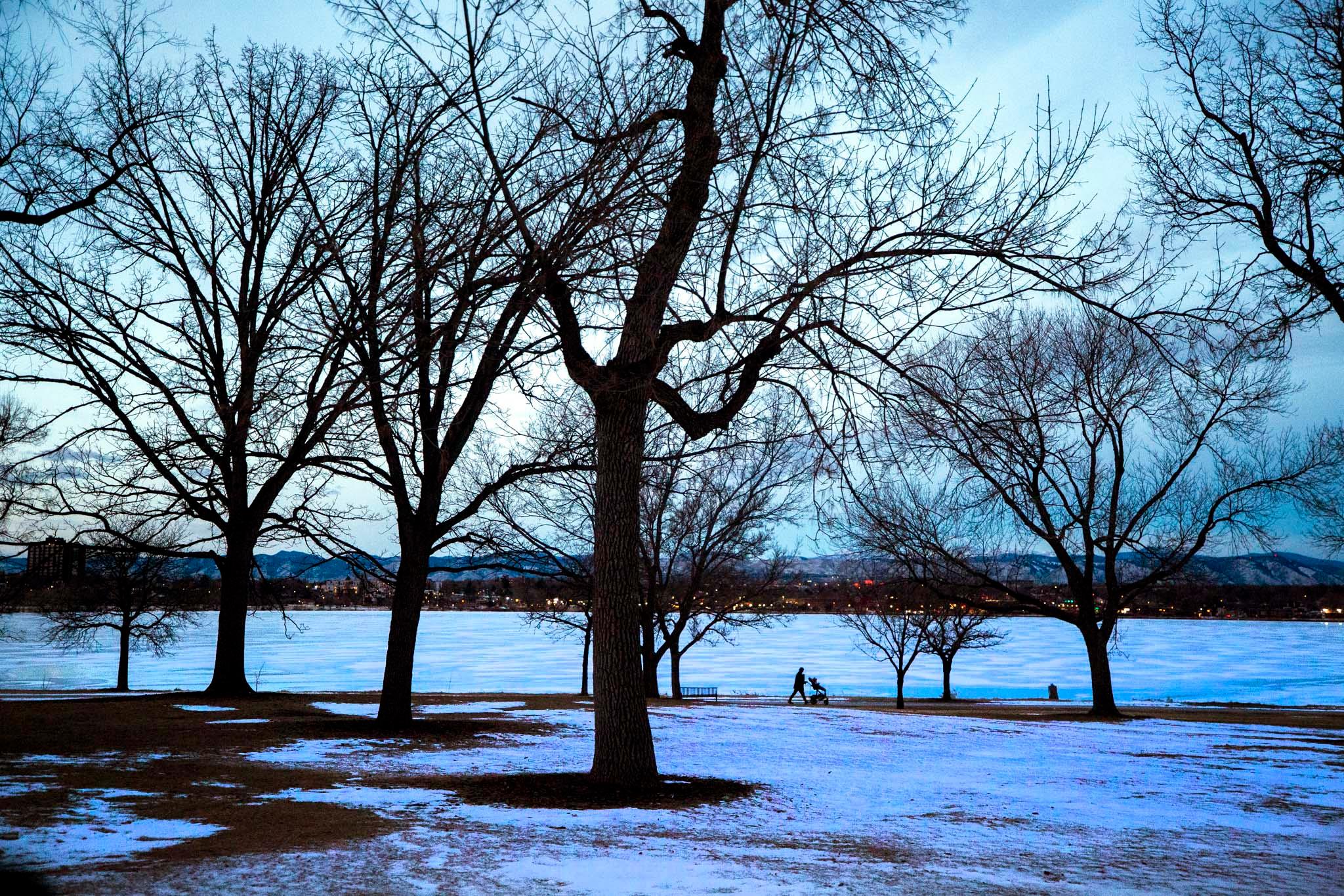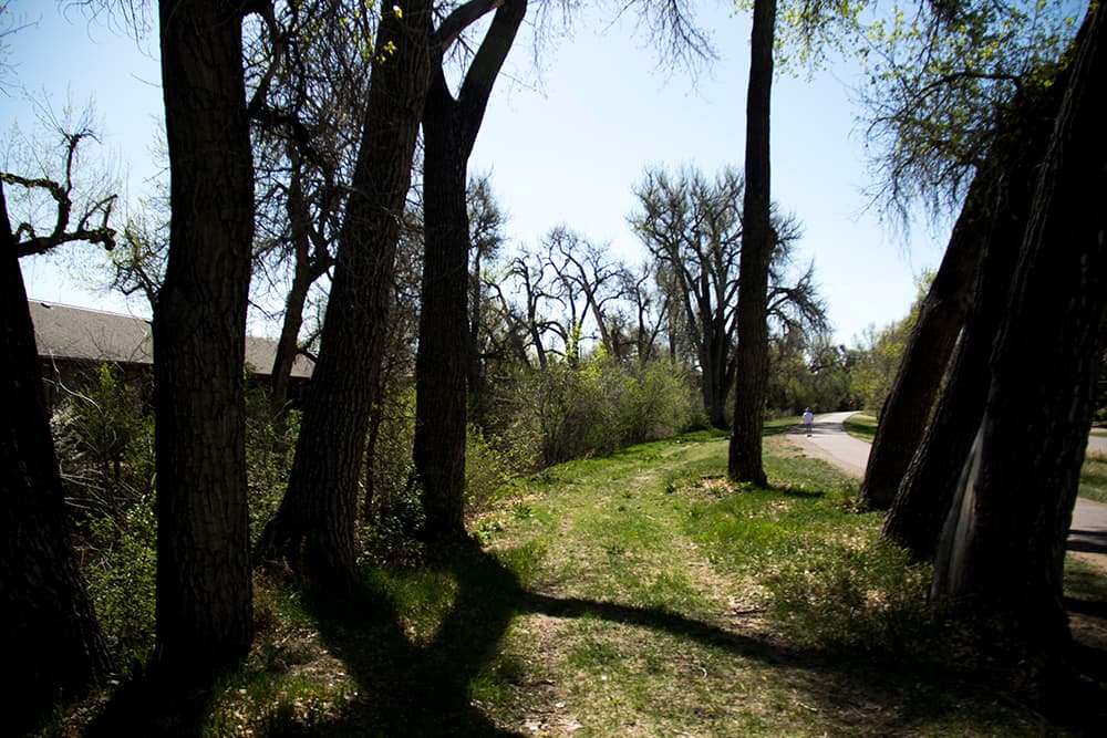
The High Line Canal runs 71 meandering miles, from a canyon southwest of Denver all the way into Aurora. It takes a lazy route down, curving along ridgelines to gently deliver water to some 70 properties along the route.
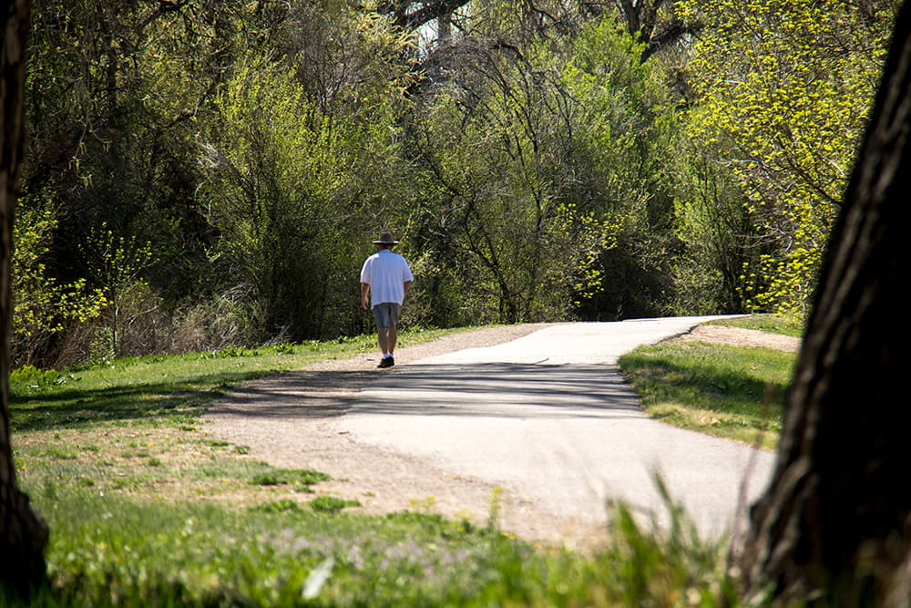
This open-air ditch is actually a terribly inefficient way to deliver water, with some 80 percent of its water sinking into the soil or evaporating — but it may have another future. Its waters have created a rich creekside ecosystem, and its paved service road has since the 1970s served as an escape for cyclists and pedestrians.
Now there's a new push to remake the canal with mobility in mind.
In Denver, two multi-million dollar projects will get rid of dangerous road crossings that interrupt the canal trail. And next week the High Line Canal Conservancy plans to introduce a long-term plan for the route's future.
"What we heard last year was that people want to continue to be able to use it as their sort of getaway," said Suzanna Fry Jones, spokeswoman for the nonprofit conservancy. "It’s used for biking, walking, running and even equestrian uses, where it’s permitted."
The new projects:
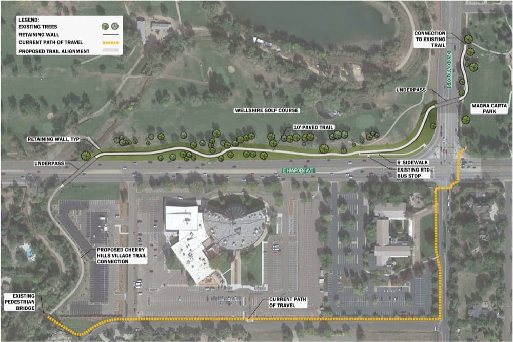
First up is a project near Hampden Avenue and Colorado Boulevard, near Wellshire Golf Course in southern Denver. Currently, people have to exit the trail at Magna Carta Park, walk themselves across both Hampden and Colorado and then take a surface street for a good 2,000 feet.
A $5 million project will create underpasses beneath the two roads and a new trail section, completely eliminating the need to get off the trail. It will mostly be funded by Colorado Department of Transportation, with some money from Denver, Cherry Hills Village and Arapahoe County.
Construction could begin in 2018 with completion in 2019, according to the city.
Later on, they're planning something similar at South Parker Road and East Mississippi Avenue, where trail users currently have to cross a 40 mph intersection and follow 260 feet of sidewalk. About 400 people cross during a typical summer day, and there were seven collisions involving bicycles or pedestrians over a five-year period.
This $4 million plan would thread the trail beneath the road. The state is funding $3.2 million, plus $400,000 each from Denver and Arapahoe County.
Construction on this one would happen later than the Magna Carta Park project. It has to be completed within five years, and the city isn't saying too much more than that.
A 2014 analysis also lays out several other intersections that could be improved. "They’re really key to solving some of these gaps," Jones said.
The bigger picture:
Next week, the High Line Canal Conservancy will release a "community vision plan," laying out next steps for the corridor with endorsements from all 11 jurisdictions that the trail crosses, according to Jones.
Besides figuring out intersections, the group in the long term wants to make the trail more accessible and obvious by installing better signage, among other possibilities.
They'll also be looking at ways to keep water in the canal. It's not a great way to convey water to customers, which means that Denver Water one day might decide to stop shunting water into it from the South Platte River.
One alternative under consideration is to drain stormwater into the canal, Jones said.
"A lot of the conversations that we had last year were about water, and how to maintain what people love about the canal," Jones said. It's "sort of the natural, urban refuge in the middle of the city."

