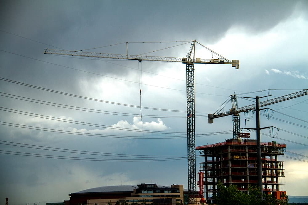
The temperature broke 100 degrees four times in Denver in July, and storm clouds were nowhere to be seen. It felt as if the Front Range could be drying out into a new drought — but a shift in the wind could keep conditions much cooler and rainier.
"It looks like we're tapping a rich vein. We've got the right flow patterns, unless we continue to be unlucky," said Jeff Lukas, research integration specialist for the Western Water Assessment at CU Boulder.
Here's a quick review of our summer weather and what may happen for the rest of the month. As a bonus, I made Lukas explain thunderstorms.
Why it was so hot:
"In July, the northern Front Range and most of the rest of Northeastern Colorado just got unlucky," Lukas said.
In the summertime, a lot of Colorado's moisture blows in from the Gulf of Mexico, which is to our southeast.
That monsoon wasn't reaching Colorado for much of June, leaving the state dried out. It blew better in July, delivering storms to Castle Rock and points south, but few reached Denver.
And without cloud cover to absorb sunlight, temperatures were running up to 4 degrees above normal in June and 2 degrees above normal in July, recently maxing out at 102 degrees, Lukas said.
"You're not getting the moisture in the soil and the vegetation that acts as kind of a swamp cooler for summer days in Denver," Lukas said.
But while it was hotter than normal, he said, it was "nothing like the record hot summers we've had," referring to 2000 and 2012 in particular.
Denver as of this week was still "abnormally dry," according to the U.S. Drought Monitor.
What's happens next:
The monsoon has put much more moisture over the Front Range in the last 10 days, returning the southern part of the metro to average or above-average precipitation, Lukas said.
"Sterling has been getting hammered in the last week," he explained. Still, "the flow is just not quite fully getting to all parts of the front range."
Boulder, Denver and Arapahoe counties have remained relatively dry over the last week, though they've certainly had more clouds and rain.
"Even when the flow pattern’s really good, the storm may not quite hit," Lukas said. But if the current trend holds, we'll at least have more chances for rain.
The national Climate Prediction Center forecasts that August will see below-normal temperatures and above-normal rain in August.
How storms move:
I was a bit confused when Lukas mentioned that the monsoon wind blows from the southeast to the northwest. Don't thunderstorms and snowstorms both roll in from the western mountains out onto the plains?
They do! But it's more complicated than that. The moisture flow tends to come in at a really low level, Lukas said. If you're standing on a reservoir, the wind at the surface might indeed be blowing in from the east.
That moisture starts to accumulate into storm clouds as it reaches the higher terrain. "The thunderstorms will build — and once they get 10,000, 15,000 feet up, they’ll hit the westerly flow at upper levels and start drifting to the east," Lukas said.
"By the time they get out to I-25, you can start getting some more mature thunderstorms."
In other words, the wind higher up is still blowing from west to east, and it carries the rising thunderstorms back from the mountains out onto the plains.
What about winter?
The CPC's three-month projections, running through October, show somewhat hotter temperatures and more rain than normal for most of Colorado.
However, climate models get pretty bad once you try to go more than a couple weeks out. The first decent estimates should arrive around September or October, Lukas said — but even then, they're unlikely to accurately predict the kind of topsy-turvy shifts we saw last year.
This article was updated to correct mistaken references to Lukas' last name in some instances.


