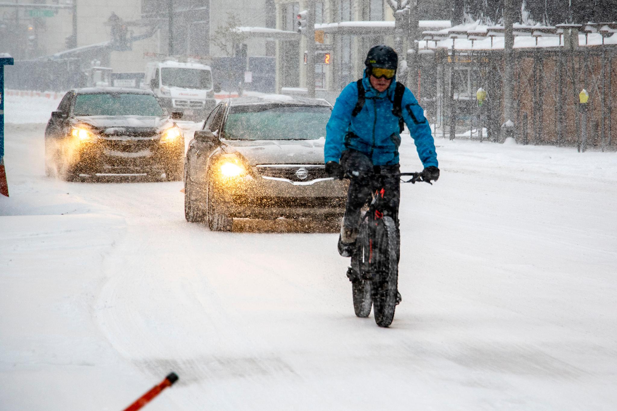
Back when he led a tech company, Avi Stopper would commute to work by bike. He was an experienced cyclist and mostly rode in bike lanes and on busier roads. But over time, he started to notice something.
"It's not fun anymore," Stopper said, recalling how he felt then. "It scares me. I feel stressed when I get to work, I feel stressed when I get home."
He began riding one street over, not on the city's designated bike route but on a more quiet, neighborhood street. "It was magic," he said.
Because Denver is laid out on a grid system, Stopper realized he could get around the city primarily through local streets that see less traffic. He felt safer on them than even on major roads that had bike lanes.
"What I realized was that this is a pretty common behavior, which is that people are cobbling together their own high comfort routes," Stopper said.
In 2018, he began crowd-sourcing an alternative bike map with the help of around 100 others.
They created the Bike Streets Map, a map covering more than 400 miles throughout the city. His unofficial motto is "one street over," referring to quiet roads that often run parallel to official routes. The other is "follow the basketball hoops," which often point the way through neighborhoods.
Stopper later quit his job to work full-time on VAMOS, a group advocating for the city to implement a version of the map as official bike routes throughout the city. Unlike protected bike lanes on busy streets, which can involve costly construction, take a long time to build and often frustrate business owners losing parking, his approach is different. He wants the city to close a network of quieter streets to through-traffic, which he thinks can create a lower cost, better connected network for cyclists and pedestrians.
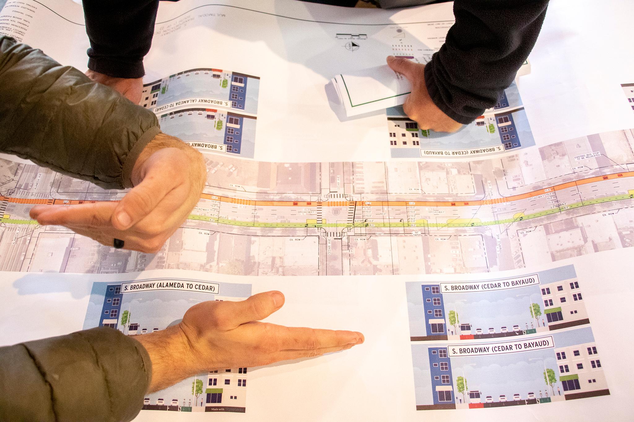
Denver has already committed to building 125 miles of bike lanes by 2023. But Stopper questions how many of those miles will be accessible to less experienced cyclists.
For example, the protected bike lane on Broadway finally started construction this year after much delay, and many cyclists said they were excited to access a part of the city that's known to be dangerous to those traveling by bike. But Stopper thinks Broadway is still too busy for less experienced cyclists. Plus, putting a new bike lane on a busy commercial street is costing the city $12 million.
"When you think about those folks who would like to ride bikes, but aren't particularly confident, are they going to be empowered by this new facility?" Stopper asked about the Broadway bike lane. "Empathize with people who are less confident on bikes, children, older folks, people who don't have a ton of experience, less well represented groups when it comes to who you think of as the traditional cycling archetype, and bicycling is just not for those groups."
Stopper's other problem with expensive lanes is the time they take from planning to opening. For example, construction on Broadway was supposed to begin in 2018.
"At some point in the future, when the planet has melted in 2040, we're gonna have a complete network," he joked. "How do you actually create a complete network so that people can go to all the places that they want to go to? If you're going island by island and creating this archipelago, it's really difficult."
Instead, Stopper wants the city to act all at once, closing a grid of quiet, local streets to through-traffic to make way for pedestrians and cyclists. This would rely on barricades and signage, but likely not be as complicated and costly as protected lanes on busy streets.
He knows that taking an all-at-once approach will have its problems, particularly at intersections without stop lights or signals, where the crowd-sourced map has received criticism. Stopper suggests that people temporarily walk or reroute at points to safe crossings, while the city identifies and fixes problem-areas over time.
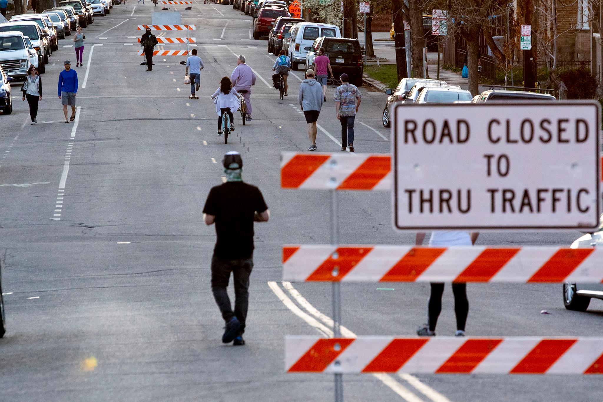
Denver's done something similar before on a small scale, with the pandemic-era Shared Streets program.
When the pandemic first hit, the city closed over seven miles of streets to cars, opening them up for people looking for more outdoor access. Many were very successful, seeing more than 10,000 people per day and centering pedestrians and cyclists in a city often revolving around cars.
The city shut down the program in 2021, but plans to bring it back after gathering community feedback and conducting deeper planning. The original streets came about quickly without much time for long-term preparation due to the pandemic.
Officials have yet to decide which roads will be chosen for the return of Shared Streets. The city held a community meeting in October and will host another in January, and is currently and is running a survey. Officials plan to release recommendations this winter, conclude planning in spring of 2023 and open streets in 2025.
Stopper wants the city to partner with VAMOS to close streets that could safely connect cyclists throughout the city. But it might not be that easy. At a presentation on the future of Shared Streets in August, city officials said some fancier iterations of Shared Streets could cost tens of millions of dollars and add a few blocks every couple years. In the meantime, officials said they will look at quicker, less costly versions before giant, expensive ones.
For Stopper, part of the Bike Streets Map and VAMOS means recognizing that the city was built for cars, working within the infrastructure that exists and using what Denver does have-the grid system-to its advantage.
"Denver can be the global leader on how a car-big city can start to make really significant inroads to reduce the amount of traffic congestion, to increase active transit and health," he said. "We have the cool, amazing canvas to do it, now we just need the willpower."

