Updated at 2:46 p.m. on Monday, June 1, 2026
If you’re reading this, you probably already know that your car parked outdoors likely got hit by a bunch of hail.
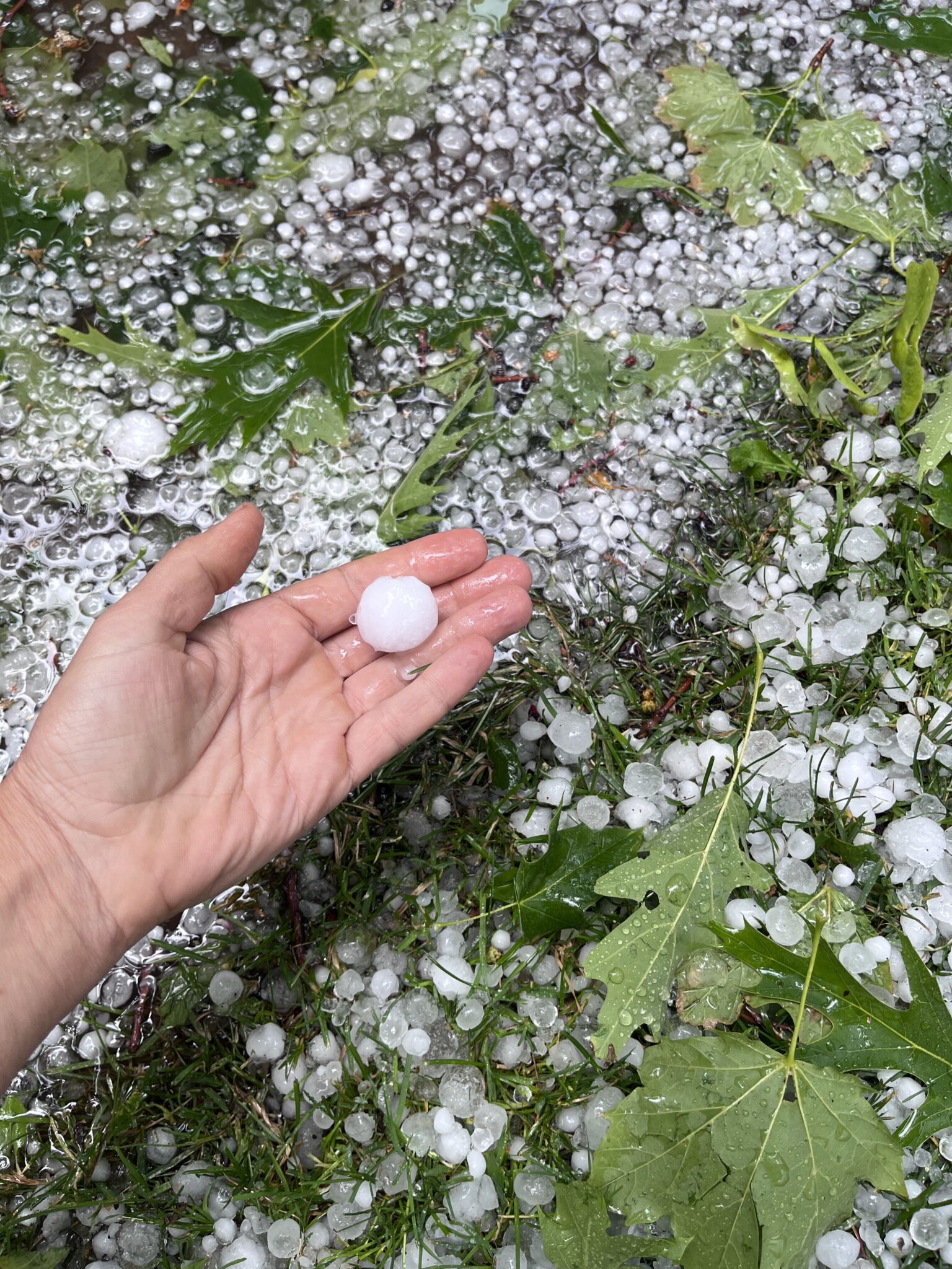
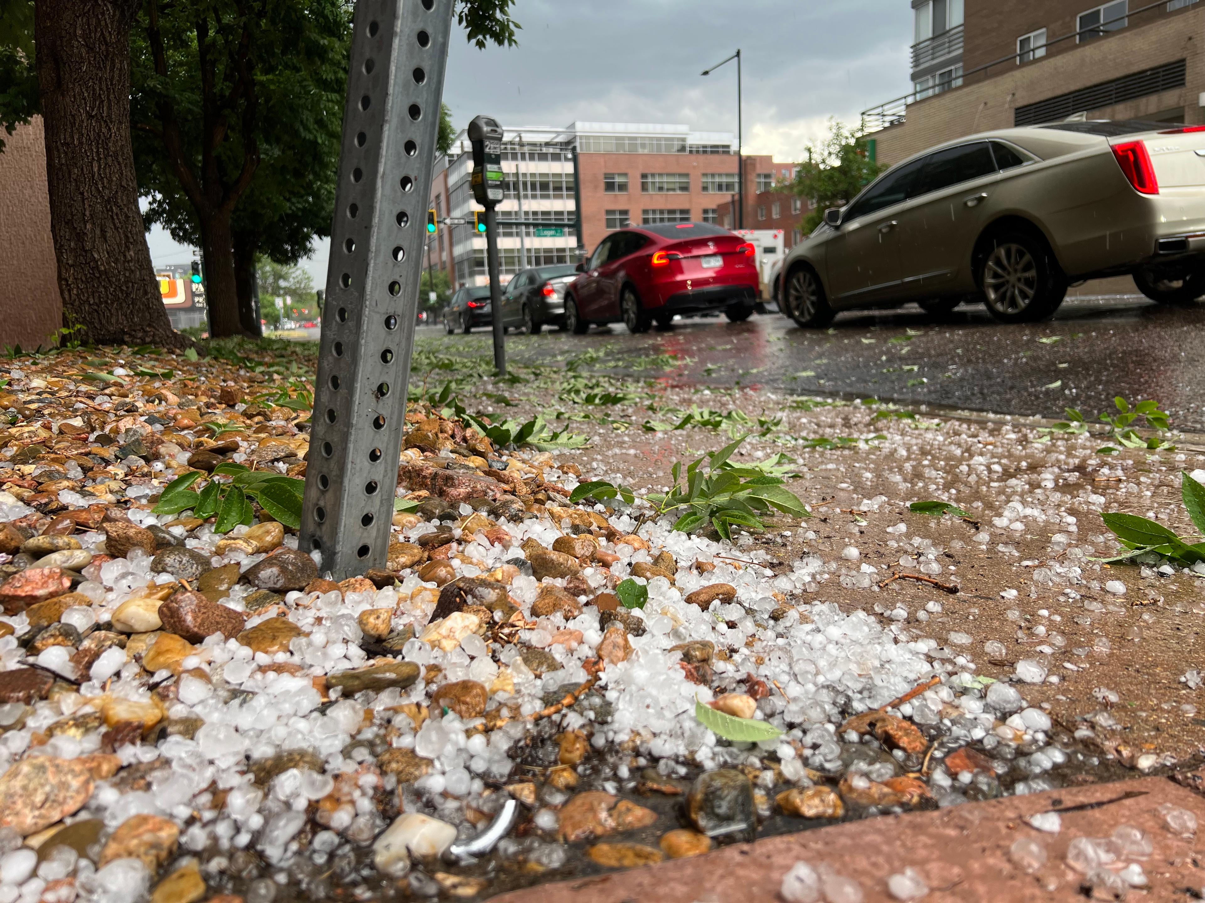
A 10-minute hailstorm passed over Denver on Monday evening, bringing hail as large as golf balls to parts of the city. The brief storm forced Denverites, including some of our colleagues in this very office, to rush out to move their cars to pricey indoor parking garages.
From the safety of Denverite’s uptown office, we saw the hail take out hundreds of leaves, create slushy road conditions and make spontaneous puddles. Drivers pulled over to the side of the road during the most intense moments of the storm. Online, people are already mourning dead flowers and crops.
While the National Weather Service said this bout of hail has passed, more severe weather is in the forecast. Potentially severe thunderstorms could hit the metro area for the rest of the day. Heavy rain and potentially more hail could follow those storms.
Flash flood and tornado warnings followed hail
At about 2:15 p.m., the NWS issued a flash flood warning for an area that includes the Green Valley Ranch and Montbello neighborhoods.
Heavy rain northwest of Buckley Space Force Base could flood small creeks, streams, roads and areas with poor drainage. Currently, no other parts of Denver are experiencing flooding conditions.
A tornado warning is in effect until 3:15 p.m. for Adams and central Arapahoe counties. A severe thunderstorm, capable of producing a tornado, passed through the Watkins area around 2:40 p.m.
The National Weather Service warns of ping-pong-sized hail. The warning is for Eastern Aurora, Manila Village, and Watkins. Residents should seek shelter and move to an interior room, away from windows.