Some call it apocalyptic. Others call it nice weather. However you view it, Denver has been inundated with such balmy weather that a few inches of snow is newsworthy in January.
But it might be time to break out your winter gloves, hats and jackets.
On Thursday, a mix of rain and snow could arrive before 11 a.m., with a transition to proper snow around 1 p.m.
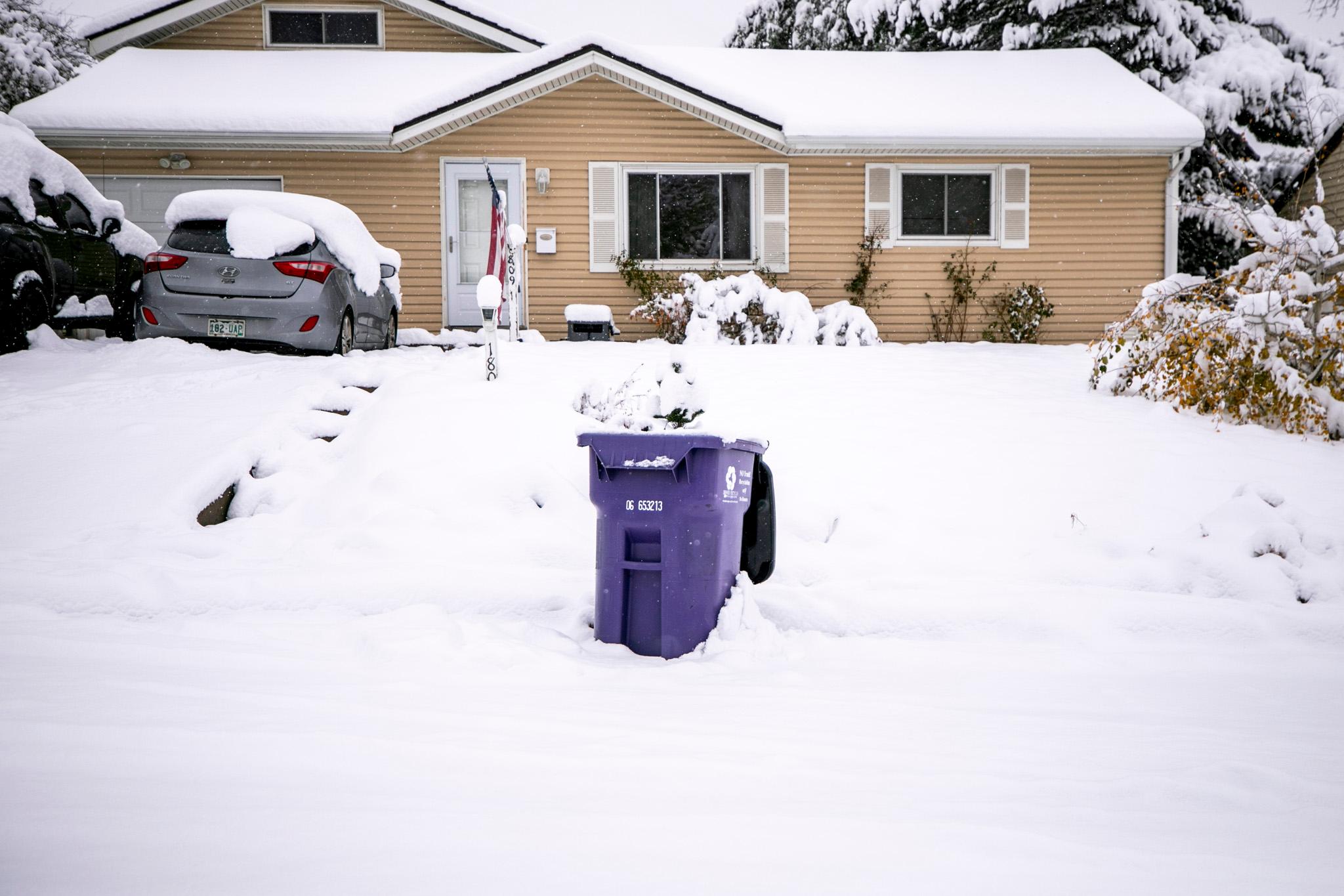
Only about a half-inch of accumulation is expected during the day on Thursday, but several more inches could fall on Thursday night.
The city could see between 1 and 3 inches by Friday morning, according to the National Weather Service. That could rise to 8 inches or more in a less-likely high-end scenario.
“The greatest chances of a few inches of accumulation will be in/near the mountains and along southern portions of the I-25 Corridor and Palmer Divide,” the NWS reports. “Expect slick travel conditions by late Thursday through the Friday morning commute.”
The storm also could deliver some much-needed snow to the mountains.
There’s a chance snow will continue into Friday, until around 11 a.m. Friday is expected to stay colder, with a high of about 33 degrees.
By the weekend, temperatures will rise to the mid-40s and dryness will prevail again.