It’s likely to rain Thursday night in Denver. It’s not the snow we’ve all been waiting for, but we sure could use the moisture.
It’s expected to rain Thursday night into Friday morning, with a slight warmup before another chance of rain on Sunday.
The same storm could bring several inches of snow to the high country tonight, offering some relief from a dry, warm fall.
Lisa Hidalgo, chief meteorologist for Denver7, said statewide snowpack has only reached about 32 percent of normal, but the southwestern corner of the state is seeing “decent numbers.”
“Most of the snow that we're going to see falling (is) in the mountains, down in through the Dolores, (and) San Miguel river basins. They’re at about 50 percent of average when it comes to statewide snowpack,” Hidalgo said. “But when you look at the statewide number, we're down to about 32 percent of normal right now. It's been a very slow start to the season.”
According to OpenSnow, the northern and central mountains could get 1 to 4 inches, with higher totals in the southern mountains, on Thursday night.
OpenSnow also reports a “good stormy signal” for weather to start arriving at the end of the month.
But there still isn’t any snow in Denver’s immediate forecast. The latest snowfall ever was on Dec. 10, 2021.
“We have this closed off low, which is basically its own little system rolling in from the west, which can bring a lot of moisture. But the problem is we don't have the cold air impacting it,” Hidalgo said.
In other words, rain but no snow.
She also said that by the end of a typical November, Denver may already have seen a foot of snow.
However, the late snow isn’t completely ruining Denver's precipitation levels yet. Hidalgo says Denver is actually an inch above normal in total precipitation for the year to date.
“That's due to better snow that was from last spring and some good rain over the summer months,” Hidalgo said.
She said one of the main things she’s watching is the temperature.
“If our temperatures were not to change through the end of November, we would be looking at probably the first or second warmest November ever on record,” Hidalgo said. “Now we have some time here where those temperatures are probably going to drop us down, but I'd say we're going to at least be on the top 10 list when it comes to one of the warmest Novembers ever on record.”
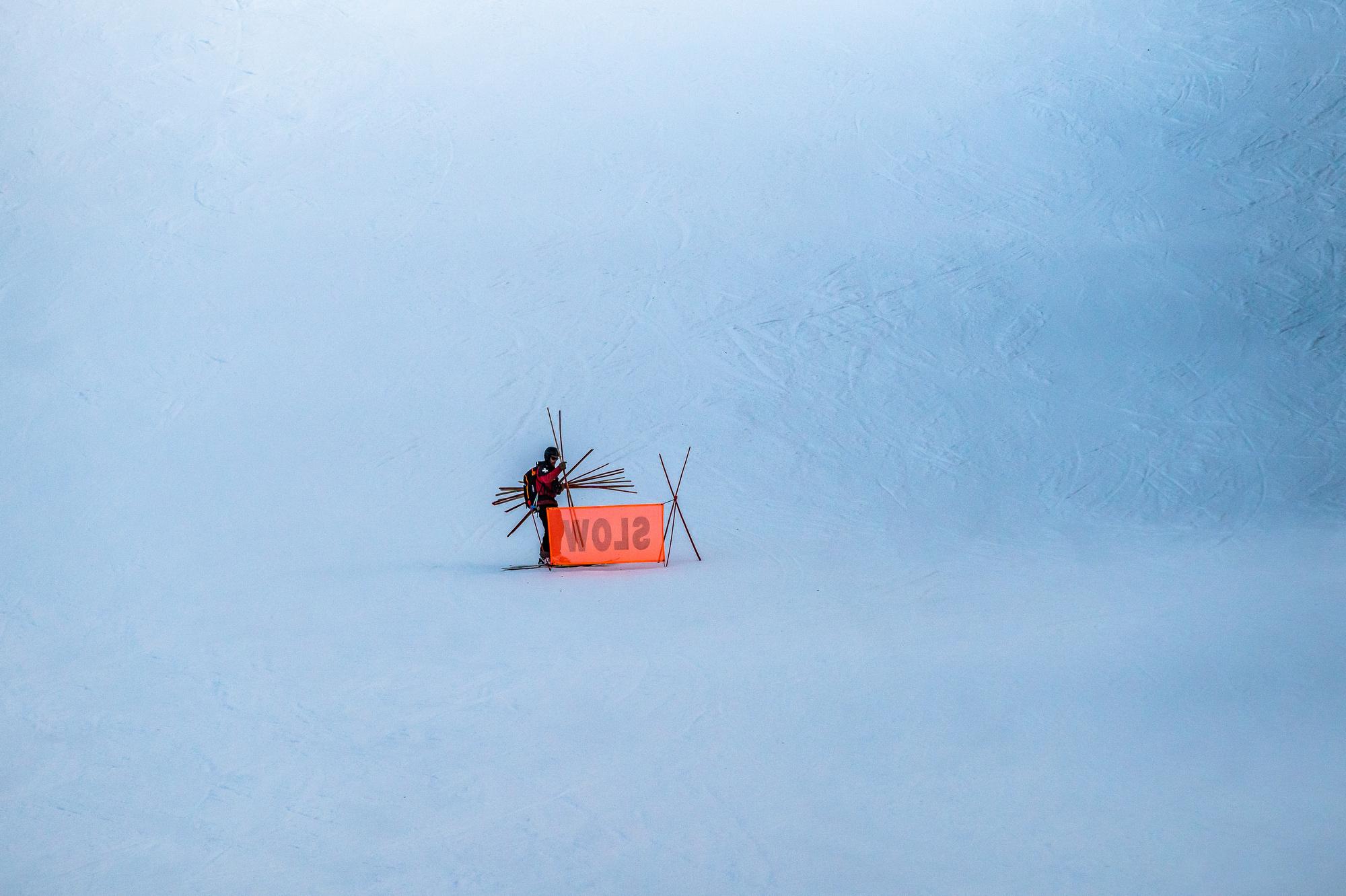
And what about the slopes?
The ski and snowboard season kicked off this month as multiple resorts opened to one of the driest starts to a snowy season. The driest was in 2016.
But Hidalgo is staying optimistic.
“I think this is going to be one of the driest, slowest starts to the ski season since the 2016-2017 year. Keep in mind, that year we had some crazy late-season snow, so our numbers actually really came up above normal that year. So a lot can change,” Hidalgo said. “We can still see an awesome ski season. People are still going to be enjoying the high country, and we do have a better pattern shift. I'd say we're finally starting to see a shift in the pattern where we're going to get more snow in the mountains.”
CPR’s Ryan Warner contributed to this reporting.