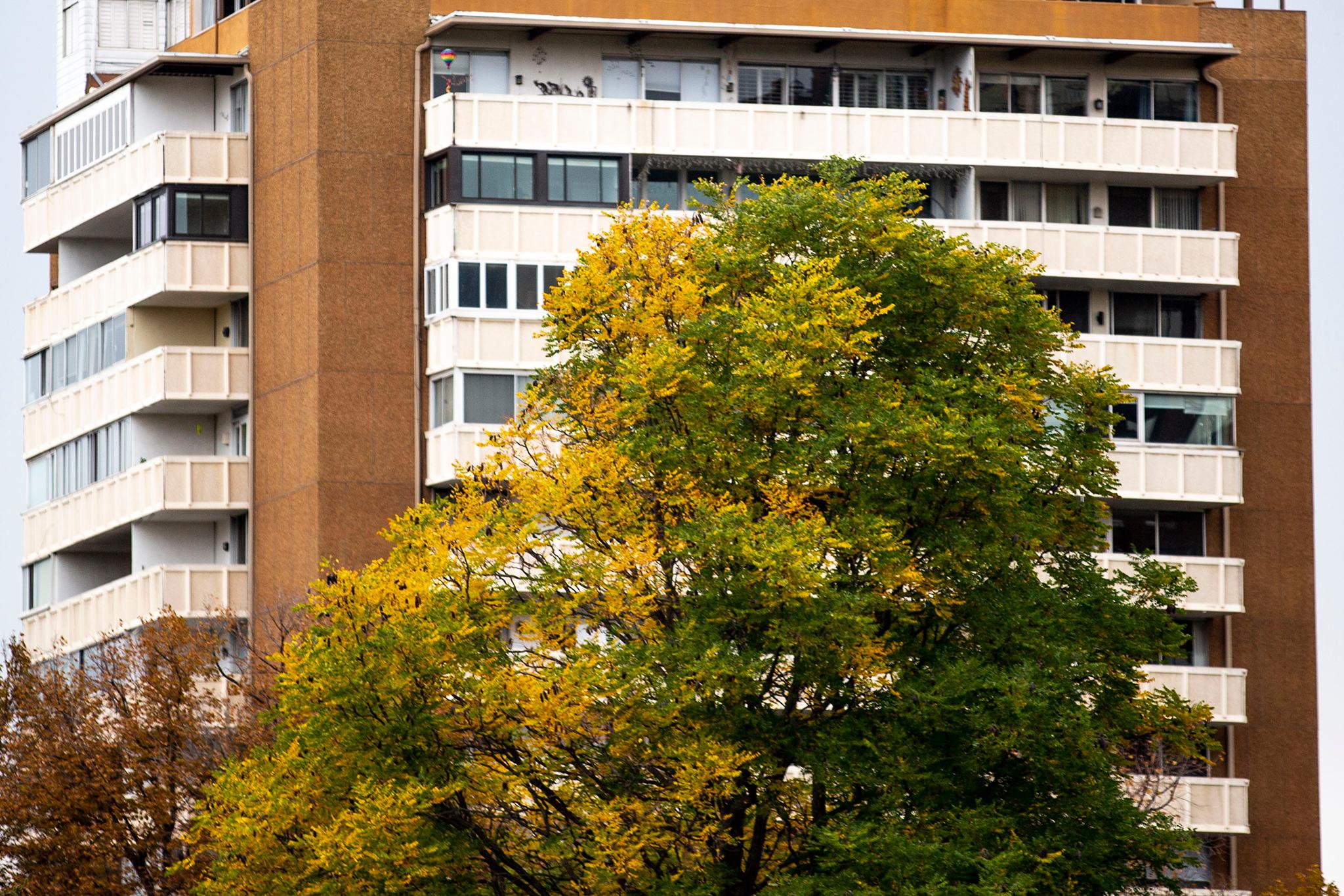
A high near 80 early Saturday could turn into heavy rain by afternoon and evening, marking the start of some typical fall weather for Denver.
The area also could see winds up to 40 mph on Saturday, said Bruno Rodriguez, a lead meteorologist at the National Weather Service for Denver and Boulder. He advised tying down loose objects or bringing them indoors..
“The winds are nothing too extreme, but we should get a pretty good shot of some decent winds here on Saturday, " Rodriguez said. “(It) could get quite gusty.”
The mountains may see snow showers on Saturday night, but not enough to make an impact, Rodriguez added. Then, cooler weather could continue into next week, bringing a fall feel to the Front Range.
“It'll be notably cooler by Sunday,” Rodriguez said. “So by then, we'll see temperatures drop, but likely into the mid 60s for highs and potentially lower 60s come Monday to start the work week.”
The temperature has been above average for the past few days, but next week will bring the temperatures closer to the typical values, Rodriguez said.
The normal average sits around the low 70s. According to NWS data, the September mean was 64.8 degrees from 1991-2020. This September, most days were in the low 80s and high 70s. Rodiguiez said we’ll finally be near or possibly even below that average beginning next week.

